Tenero-Locarno: the facts
- Hiking time: 1h00
- Difficulty: easy
- Elevation: 193 – 206 m
- Distance: 4.4 km
- Terrain: across a town, along a lake
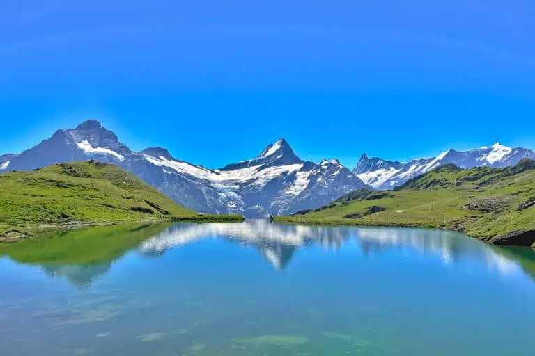
- Region: Lake Maggiore (Ticino)
About this trail
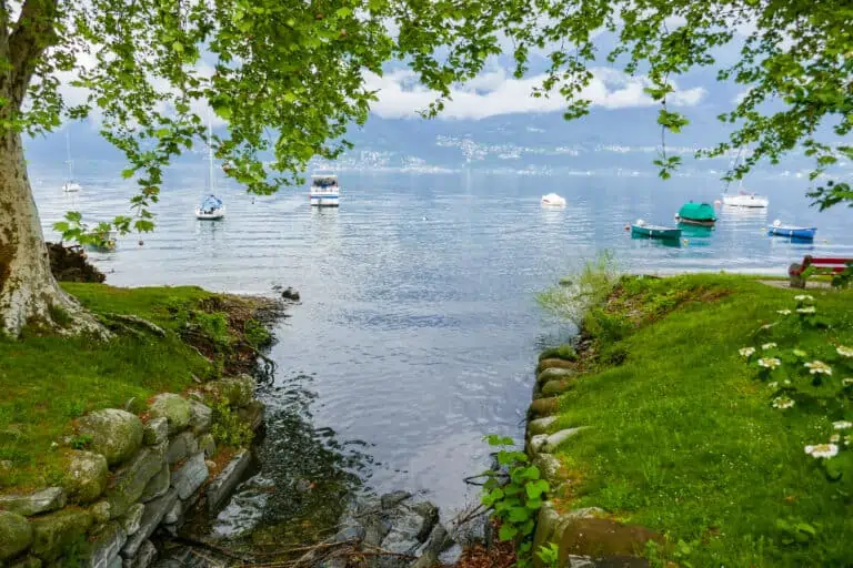
The first 700 m of this route is not particularly interesting, but then you’ll reach the lake for a pleasant stroll to Locarno. You’ll have continuous views of Lake Maggiore (Lago Maggiore) and the surrounding mountains. You will pass various wonderful villas.
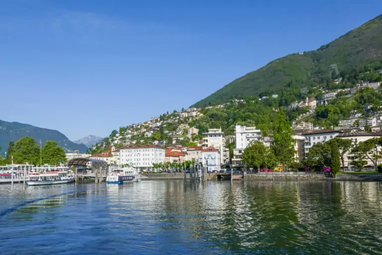
The route ends at the pretty lakefront in Locarno. If you’re interested to explore more here, consider continuing with this city walk or enjoy a boat excursion on the lake.
Directions and map
How to get to Tenero and travel back from Locarno
Tenero can be reached by train, for example from Locarno or Bellinzona. It can be reached by car as well. From Locarno, you can take a train, bus, or boat to wherever you’d like to go next. Please find details here.
The hiking route
You can find the route on the map below. We offer detailed directions as well:
- Exit the train station through the south side and turn right to follow the Via Tre Case to the lake. You’ll walk through a tunnel under the motorway just before arriving at Lake Maggiore.
- Once at the lake, turn right and follow the path along the lake all the way to Locarno.
- In Locarno, be sure to take the path nearest to the lake rather than the street (see the map).
- Turn right into Viale Giuseppe Cattori to walk slightly uphill to the train station.
Map of the Tenero-Locarno hiking path

Promotions 

Various multi-day packages for guided and self-guided trips to Switzerland. The offerings change regularly. Packages including surrounding countries are available too.
Our guides to Locarno and Lake Maggiore boats
Locarno
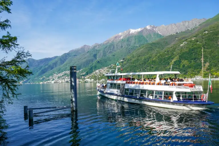
Boat Lake Maggiore
Other blog posts you may like
Hike Täsch-Zermatt
Hike First-Grosse Scheidegg