Bauen-Seelisberg: the facts
- Hiking time: 2h20
- Difficulty: moderate
- Elevation: 438 – 881 m
- Distance: 6.2 km
- Terrain: meadows and forests along and above a lake
- Region: Lake Lucerne (Central Switzerland)
About the trail
You’ll start hiking in the tiny village of Bauen, along Lake Lucerne. The trail starts with a steep climb to the higher farmlands. After about 1000 m of hiking, you’re already 300 m above the lake. After that, the route gradually ascends for another 100 m until you’ve reached the highest point. The rest of the trail goes up and down a bit, ending in a gradual descent to the village of Seelisberg.
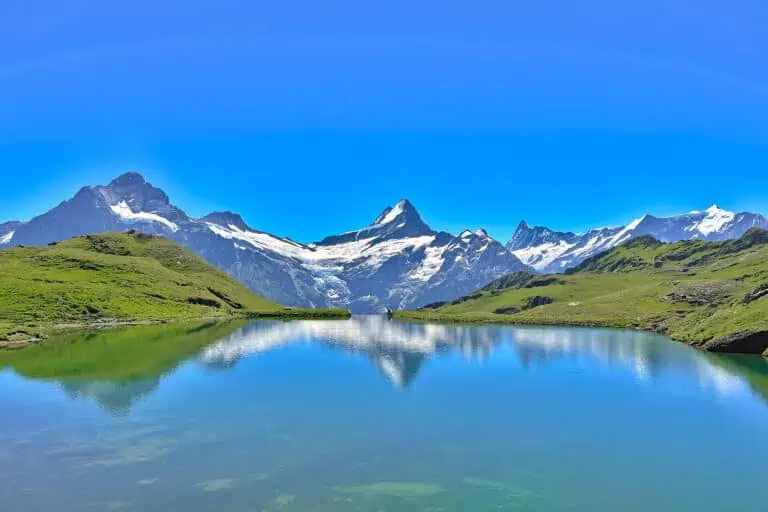
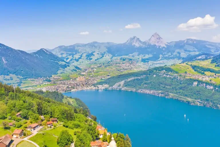
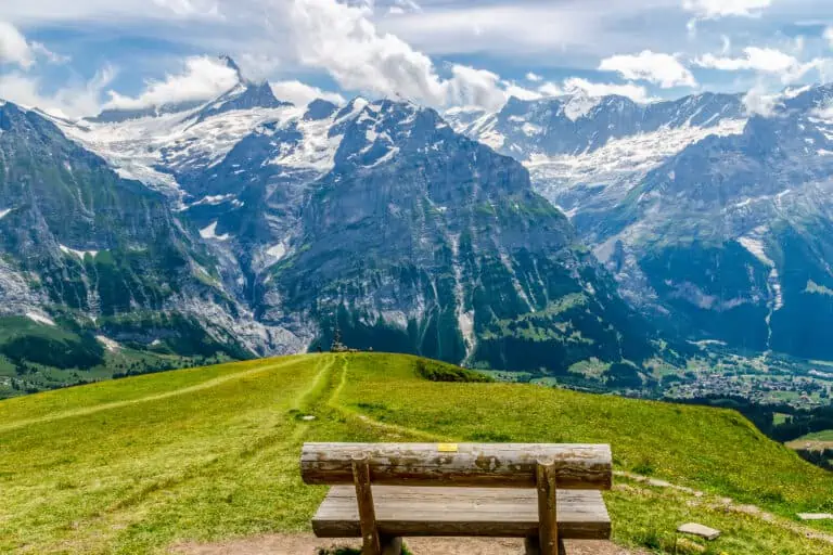
The entire route runs parallel to the Urnersee: the eastern part of Lake Lucerne. You will have beautiful views of the lake, 300 to 400 m below the trail, and the mountains behind. Some sections of the route cross forests. The last section is on the sidewalk along the road to Seelisberg, again with impressive views of the lake far below.
Directions and map
How to reach Bauen
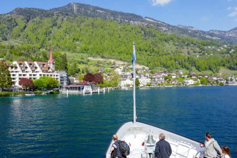
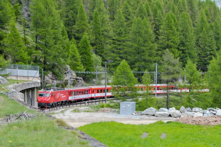
Bauen can best be reached by boat. Boats depart from several towns, such as Lucerne, Brunnen and Flüelen. More about the boats on Lake Lucerne can be found here.
How to travel back from Seelisberg
You can take a bus to Stans, or take the funicular down to Treib and continue by boat from there.
Route
The route starts at the boat dock in Bauen. Follow the signs to Seelisberg Oberdorf. About halfway through the route, you will be walking on a paved road. Follow this road until you can turn right to the viewing point Marienhöhe. After that, follow the signs to Seelisberg Chilendorf. Once in Seelisberg, the route ends at the Bahnhofplatz.
The Bauen-Seelisberg trail on a map

Promotions 

Various multi-day packages for guided and self-guided trips to Switzerland. The offerings change regularly. Packages including surrounding countries are available too.
Our tips for the Lucerne holiday region and boat rides
Boat Lake Lucerne
Lake Lucerne
More blog posts you may like
Hike Täsch-Zermatt
Hike First-Grosse Scheidegg