Engelberg-Ober Trüebsee-Trüebsee: the facts
- Hiking time: 1h45
- Difficulty: easy
- Elevation: 999 – 1794 m
- Distance: 6.0 km
- Terrain: meadows in the valley, rocky area around the mountain lake
- Region: Lake Lucerne (Central Switzerland)
About this trail
This trail passes through two different landscapes, because you’ll be walking at two different altitudes. Section 1, at about 1100 m, is in the valley of Engelberg. Section 2, at almost 1800 m, is on the plateau of the Trüebsee (Lake Trüeb), at the base of the Titlis.
Section 1: the valley
The trail starts in Engelberg, at the valley station of the cable car to the Titlis. You’ll gradually ascend as you walk along the edge of the forests. Then, at Unter Trüebsee, you’ll reach the little cable car that takes you up to Ober Trüebsee.
Section 2: the plateau of Ober Trüebsee
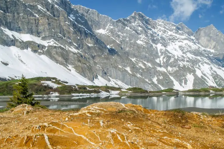
The trail is nearly flat here. You’ll have wonderful views of the valley of Engelberg, the Titlis, the Wendenstock and many other mountains. The last part of the trail runs along the Trüebsee. Finally you’ll reach the cable car station of Trüebsee, where you can either go up to the summit of the Titlis, or down to Engelberg.
Directions and map
How to reach Engelberg
This hike starts at the valley station of the Titlis cable car. See how to get there here.
How to travel back from the Trüebsee
Take the cable car down to Engelberg. Then walk to the rail station. Find further details here.
Trail directions
The route starts at the valley station of the cable car to the Titlis. First follow the signs to Unter Trüebsee. Then take the cable car to Ober Trüebsee. Follow the signs to Trüebsee to reach the cable car station where the route ends. Walk along the left bank of the Trüebsee.
Map with the trail Trüebsee-Ober Trüebsee-Engelberg
Promotions 
Various multi-day packages for guided and self-guided trips to Switzerland. The offerings change regularly. Packages including surrounding countries are available too.
Our guide for the Titlis excursion 
Other blog posts you may like 
Hike Täsch-Zermatt
Hike First-Grosse Scheidegg
