About our Lugano city walk 
This is a self-guided 5.1-km city walk along the parks of Lugano, the city center, the lake, two churches, and the luxurious shopping street Via Nassa.
Although the route can be completed in less than 1.5 hours, I advise allocating a minimum of 2.5 hours. That allows a leisurely pace and (culinary) breaks along the way.
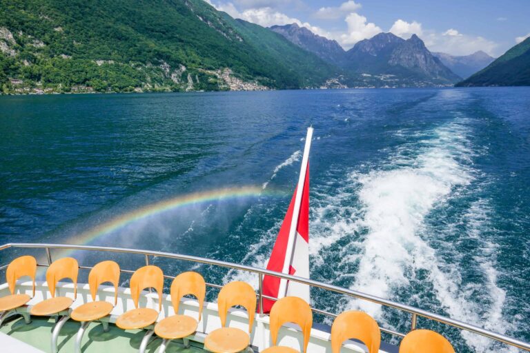
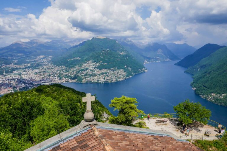
You can spend a full day near Lugano if you also do a boat trip or visit a viewing point like Monte San Salvatore or Monte Brè.
➤ Prices for this city walk
The walk: free
This Lugano hiking tour is completely free.
Tickets to travel to Lugano
You may need to travel to Lugano to start the route. Take the train if you can: that's more convenient than navigating by car in this busy town and finding a parking spot.
You may be using a rail pass during your stay in Switzerland. Rail passes can allow discounted or free traveling to Lugano. Without a rail pass, you'll have to buy normal full-fare tickets.
City hike directions and map
How to get to Lugano
Lugano can best be reached by train. This walking tour starts and ends at the main train station. Find details about reaching Lugano here.
Walking route directions
Find the route on the map and use these step-by-step directions.
Section 1: from the train station via the Tassino Park to the boat dock
- Exit the train station through the back and go left into the Via Basilea.
- Just before the railway, you'll need to turn right into the path leading to the Parco del Tassino (Tassino Park).
- Be sure to walk all the way up the hill for the best view over the city and the lake. Then take the stairs down the hill (see the map) and follow the Via Tassino until you reach the railway.
- On the other side of the railway, turn right into the Via Clemente Maraini. After 100 m, cross the street and take the stairs down to Via Antonio Adamini.
- You've now reached the Chiesa di Santa Maria di Loreto, a small church built in 1524. Pass the church on its right through the Via Loreto. There's a small garden on the right.
- Keep walking straight ahead, down the hill, until you can turn left into the Via Giuseppe Mazzini. Then turn right and cross the street to reach the lake.
- Walk along the lake for about 300 m until you see a square on your left. Cross the street to reach the square and enter the Via Nassa in the farthest corner of the square.
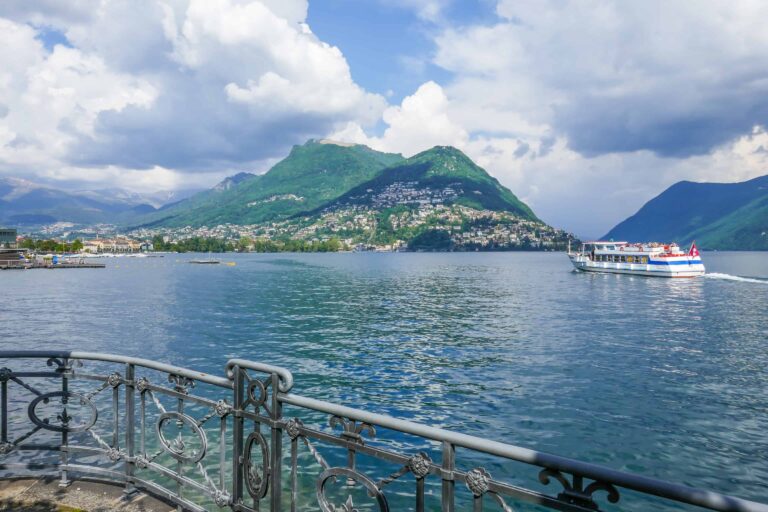
- After 350 m, go right in the alley Vicolo del Lido, walk to the lake and turn left. You've reached the boat terminal.
Section 2: from the boat dock via the Ciani Park to the train station
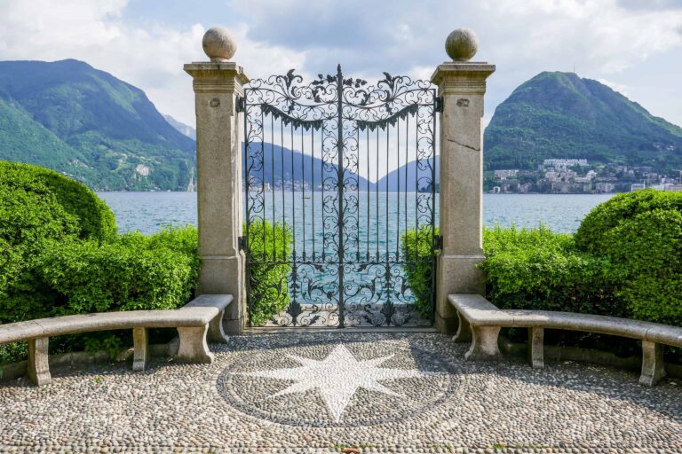
- Walk along Lake Lugano to the entrance of the Parco Ciani (Ciani Park). Keep walking along the water until the very end of a little peninsula (see the map).
- Walk back via the other path and turn right after about 400 m (see the map).
- Follow the curved path until you can turn right to reach the Viale Carlo Cattaneo. Go left there and pass the Piazza Castello (a square) on your left.
- Cross the street into the small park (Piazza Indipendenza) and cross the park. Go into the Via Canova.
- Keep walking straight ahead, and cross the square (Piazza Riforma). You've reached Via Nassa again (the part you haven't seen yet). Enter the first street on your right.
- Keep following the Via Pessina until you reach another square: the Piazza Alighieri Dante. At the right of the square, you'll find the Chiesa di Sant' Antonio Abate, a church that was built in 1633 on the remains of a smaller church.
- Now continue from Via Pessina straight ahead and turn left into Salita M. e A. Chiattone (see the map). Take the stairs up to the Via Cattedrale and go left there to descend again.
- You've reached a small square (Piazza Cioccaro). Take the funicular up to the train station. If you rather walk to the station, then in the previous step do not go left into the Via Cattedrale, but right and immediately left. Follow the stairs up to the station.

Best months for a Lugano walk
This hike can be done all year round.
I think it's less suitable for very hot summer days. Lugano is at low altitude and warm to Swiss standards, and if temperatures rise in July and August you may prefer a boat tour or mountain visit in the Lake Lugano area instead. On the other hand: you can avoid the warmest time of the day by doing this city walk in the early morning or late afternoon.
Lugano isn't a typical winter destination. The city may look less vibrant from December to March than during other months of the year. But if you're in the Ticino during winter time and want to get a glimpse of Lugano, I still think this hike is a great start.
Weather and forecast
How to dress
Other than solid shows you don't need specific gear. Just dress according to the forecasts.
Best weather for this hike
This Lugano walk is suitable for (mostly) dry weather. If you're visiting in summer and temperatures are forecasted to rise a lot during the day, I suggest that you make this walk in the early morning or late afternoon.
➤ Find alternative Lugano city tours


Boat Lake Lugano
Monte San Salvatore
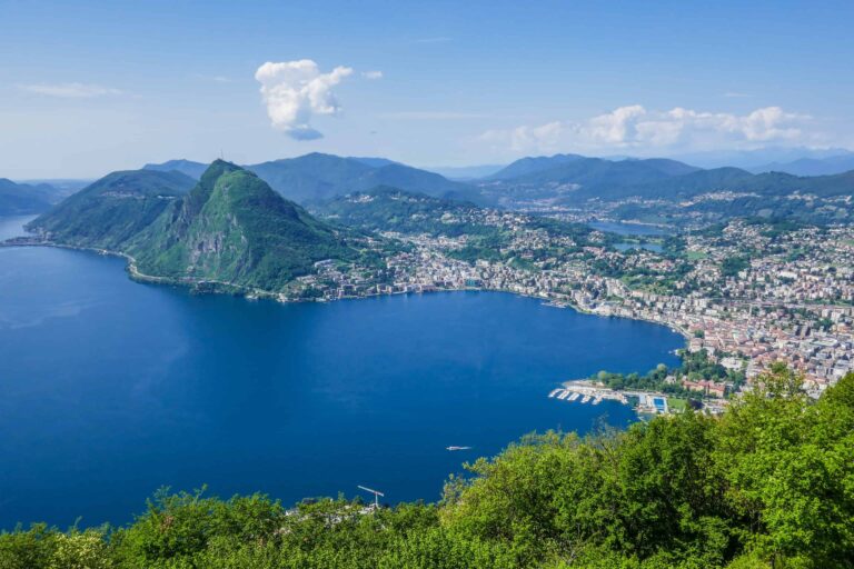
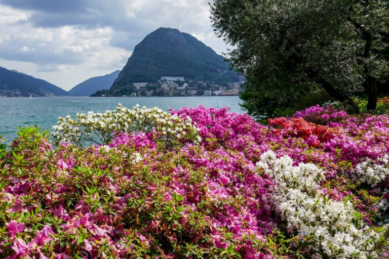
Lugano