Muottas Muragl-Alp Languard: the facts
- Hiking time: 2h00
- Difficulty: moderate
- Elevation: 2233 – 2453 m
- Distance: 6.3 km
- Terrain: forests, meadows and rocky areas
- Region: Upper Engadine (Graubünden)
About this trail
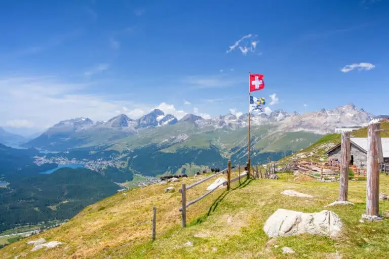
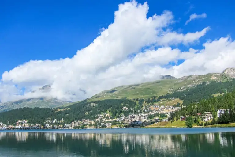
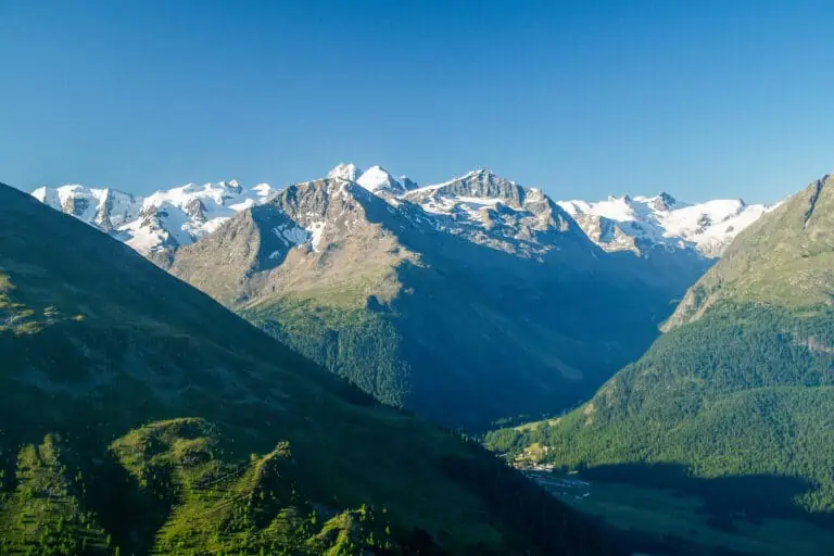
This hike in the high mountains above Pontresina offers magnificent views of the Bernina valley, the Roseg valley, St. Moritz and the lakes behind it.
Directions
How to reach Muottas Muragl
The funicular to Muottas Muragl departs from Punt Muragl. There is a parking lot in Punt Muragl, and there are train and bus services from Samedan and Pontresina.
If you’re traveling from St. Moritz, you can get to Punt Muragl Staz by train. This station is located about 300 m (1000 ft) from Punt Muragl. There is a bus service from St. Moritz to Punt Muragl as well.
How to travel back from Alp Languard
The lift from Alp Languard takes you down to the town center of Pontresina. It’s a 15-minute walk to the train station. There are train services to Punt Muragl/Samedan, Punt Muragl Staz/St. Moritz and the Bernina Pass. There are bus services to St. Moritz and Samedan as well.
Hiking directions
Follow the signs to Alp Languard. You will first walk through the high Muragl Valley. You need to cross a small bridge in order to continue on the other side of the valley in the opposite direction.
A rock path leads you to a sandy path. This is where you encounter the first trees of the route. Eventually, you reach the mountain station of the lift at Alp Languard.
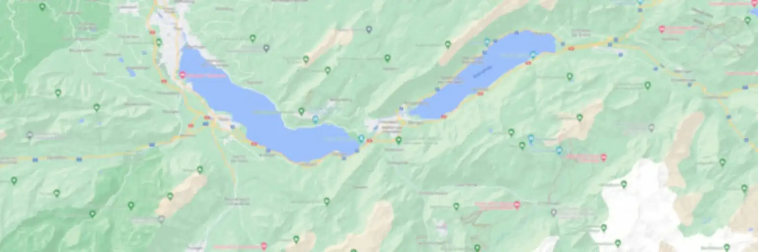
Map with the hiking route Muottas Muragl-Alp Languard

Promotions 
Various multi-day packages for guided and self-guided trips to Switzerland. The offerings change regularly. Packages including surrounding countries are available too.
Our guides for the Engadine and St. Moritz 

Engadine

St. Moritz
Related blog posts 

Hike Täsch-Zermatt

Hike First-Grosse Scheidegg


