 Min. time required: 1:30
 Season: all year
 Recommended season: early January to late October and late November to late December
 Max. altitude: 402 m (1319 ft)
About this Geneva city walk 
This free 4.6-km walk provides a good introduction to the must-sees of Geneva in less than 1h30, excluding breaks. It's perfect if you plan to visit Geneva for just one day as well.
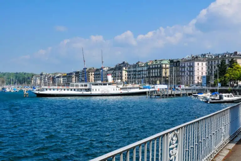
You'll walk from the train station to the river Rhône and continue to the historical town center which is located on a hill. You'll enjoy the narrow picturesque cobblestone streets and St. Pierre Cathedral.
After that it's time to see the lake, the Jardin Anglais (English garden) and the famous fountain of Geneva: the Jet d'Eau.
Tip: if you don't have much time you can choose to have a walk to the Jet d'Eau and lake only.
Prices and costs to pay for this city walk
The walk: free
This Geneva walk is completely free.
Tickets to travel to Geneva
You may need to travel to Geneva first. We recommend doing so by train. Navigating your car and parking in this busy city can be a challenge.
If you'll be staying in Switzerland for a while you'll probably use a rail pass to save money. Rail passes can allow discounted or free traveling to Geneva. Otherwise, you'll have to buy normal full-fare tickets.
Find Geneva city tours
If you prefer a (partially) guided tour in Geneva, the below options may be perfect for you.

Offered by Viator: www.viator.com
- Easy, online, free cancellation in most cases
- Lowest Price Guarantee: Viator will refund the difference if you find a better price.
- Extra Support: if you buy here, MySwissAlps can also assist if you have questions about your order.

Offered by Viator: www.viator.com
- Easy, online, free cancellation in most cases
- Lowest Price Guarantee: Viator will refund the difference if you find a better price.
- Extra Support: if you buy here, MySwissAlps can also assist if you have questions about your order.

Offered by Viator: www.viator.com
- Easy, online, free cancellation in most cases
- Lowest Price Guarantee: Viator will refund the difference if you find a better price.
- Extra Support: if you buy here, MySwissAlps can also assist if you have questions about your order.
Promotions
There are currently no promotions available.
City hike directions and map
How to get to Geneva
Geneva can best be reached by train. This walking tour starts and ends at the main train station of Geneva.
Route description
You can find the route on the map. Here are detailed directions:
- Leave the station via the underpass to the Rue du Mont-Blanc. Follow the Rue du Mont-Blanc until you reach the lake.
- Turn right, and after 100 m, turn left onto the Pont des Bergues (bridge).
- After crossing the bridge, turn right and walk along the river Rhône. After 250 m you'll reach the Place de Bel-Air.
- Turn left into the pedestrian street and walk up the Rue de la Cité. Keep walking straight, into the Grand-Rue, until you can turn left into the Rue du Puits-Saint-Pierre. After 25 m, turn right into the Rue du Soleil-Levant to reach the St. Pierre Cathedral.
- Turn right into the Place de la Taconnerie, then left into the Rue de l'Hôtel-de-Ville to reach a square (Place du Bourg-de-Four).
- At the other end of the square, take the Rue de la Fontaine down, and keep walking straight to the lake along the Place de Longemalle. Cross the busy Quai du Général-Guisan to reach the Jardin Anglais (English garden) on the lake.
- Turn right and walk along the water to reach the fountain.
- Walk back to the Jardin Anglais and cross the Pont du Mont-Blanc (bridge).
- On the other side of the bridge, turn right, then turn left into the Rue des Alpes. Keep walking straight until you reach the train station.
Geneva city hike: the route on a map

Best months for a Geneva walk
This hike can be done all year round, the best seasons being early January to late October and late November to late December.
If you want to see the fountain, early and mid-November aren't the best time: the fountain will be shut down for maintenance.
A disadvantage of July and August can be heat in the city, but temperatures can be agreeable as well. And on the other hand: the proximity to Lake Geneva allows you to cool down during a boat trip.
Weather tips and forecast
How to dress
You don't need specific hiking gear to explore Geneva on foot. Solid shoes are fine. Make sure you have a waterproof jacket if you plan to get close to the Jet d'Eau.
Weather required for this hike
As long as it's (nearly) dry, you can enjoy Geneva on foot. Even if there's rain for a while, you'll find more than enough options to enter a restaurant or cafe and wait until the weather gets better.
5-day forecasts for Geneva

More activities near Geneva
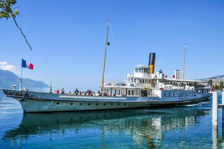
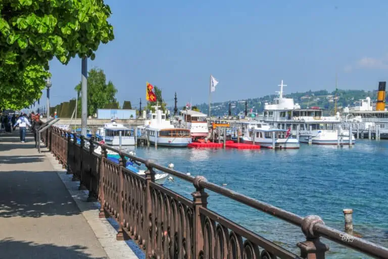
Boat Lake Geneva
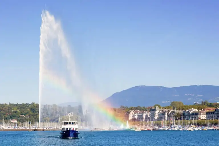
Geneva fountain
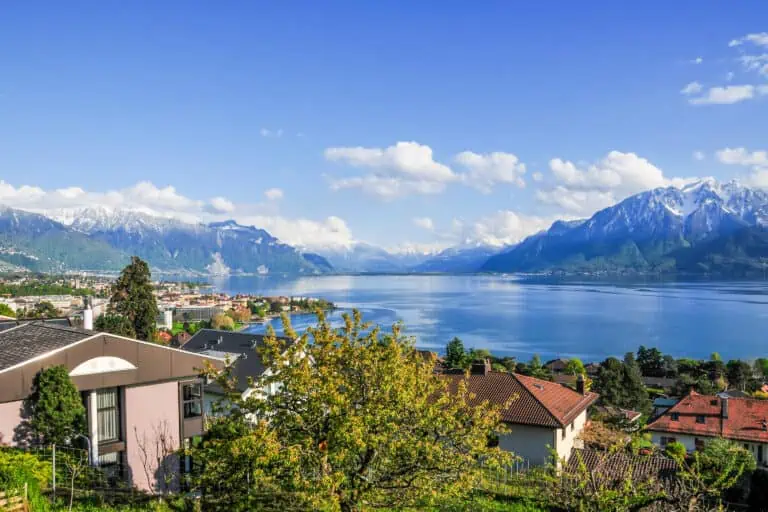
About Geneva and its lake
Geneva