 Min. time required: 2:00
 Season: all year
 Recommended season: all year
 Max. altitude: 427 m (1401 ft)
About this Zurich city walk 
This self-guided walking tour covers 7.3 km. In about two hours it takes you from Zurich’s main train station (Zürich HB) to Lake Zurich and back, via the river Reuss and the picturesque old town.
Our route includes Zurich's famous churches (the Grossmünster, Fraumünster, and St. Peter churches), Lake Zurich and the China Garden, historical areas such as the Lindenhof, and the famous Bahnhofstrasse shopping street.
This walk is a good introduction to the city if you stay in or near Zurich for a couple of days. And it's the perfect way to get to know the town on the day you arrive in, or depart from, Zurich.
Prices for the city walk
The walk: free
This Zurich hiking tour is completely free.
Tickets to travel to Zurich
If you have to travel to Zurich first, we recommend to do so by train. You can buy normal full-fare train tickets, but chances are you'll be using a rail pass that allows free or discounted traveling to Zurich and within the city.
Find more Zurich tours
There are many (partially) guided tours in Zurich available too. Browse this list if that's what you prefer.

Offered by Swiss Activities: www.swissactivities.com
- Easy, online, free cancellation in most cases
- Extra Support: if you buy here, MySwissAlps can also assist if you have questions about your order.

Offered by Klook: www.klook.com
- Best price guarantee: Klook will refund double the difference if you find a lower price.
- Extra Support: if you book here, MySwissAlps can also assist if you have questions about your order.

Offered by GetYourGuide: www.getyourguide.com
- Easy, online, free cancellation in most cases
- Best Price Matching: GetYourGuide will pay the difference if you find a lower price.
- Extra Support: if you buy here, MySwissAlps can also assist if you have questions about your order.
Promotions
There are currently no promotions available.
City hike directions and map
How to get to Zurich and back
The city of Zurich can be easily reached by train. This walking tour starts at the main train station, Zürich HB.
Walking route directions
You can find the route on the map. We offer detailed street-by-street directions as well:
Section 1: from the train station via Niederdorf to the lake
- Leave Zurich main station on street level and take the exit that, if you have your back to the trains, is in front of you. Outside, you are looking at the Bahnhofquai tram stop with the Limmat river behind it.
- Turn right to walk along the tram stop and then turn left to cross the bridge 'Bahnhofbrücke'. You are now at the ‘Central’ tram stop.
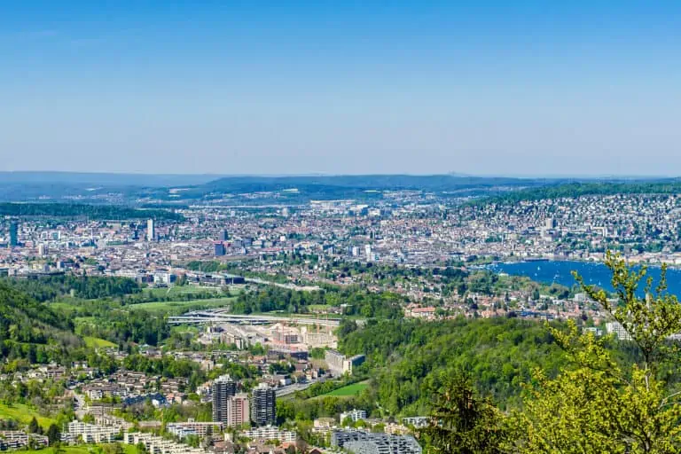
- Cross the tram stop and walk towards the UBS Polybahn funicular. Optional: you can take the funicular (2-minute ride) up to the Swiss Federal Institute of Technology for great views over Zurich. Take the funicular back down and turn left.
- Walk along Niederdorfstrasse: a cobblestone street that is full of art galleries, shops, and cafes.
- Follow the street for 850 meters until it turns into the alley 'Münstergasse'. You'll then reach the famous Grossmünster cathedral.
- Immediately after the Grossmünster, turn right onto Kirchgasse and take your first left onto Oberdorfstrasse. Follow along for 300 meters until you need to cross Rämistrasse.
- Continue along this street (now called Stadelhoferstrasse) for 270 meters until you reach Stadelhofen train station. Turn right towards Lake Zurich.
- Just before reaching the river, you will arrive at the 'Sechseläutenplatz' – Zurich’s largest public square, which is in front of the Zurich Opera House.
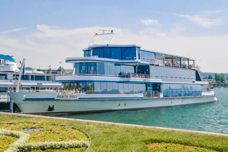
- On the far side of Sechseläutenplatz is Lake Zurich. Turn left and walk along the lakefront for 1.3 km to the China garden. Also located near the China Garden are Zurich’s open-air cinema (open in summer only) and the public bath 'Strandbad Tiefenbrunnen'.
- From here, you can catch a boat at the ‘Zürichhorn, See’ boat dock. A short boat trip gets you to the Bürkliplatz in the old town. Alternatively, walk back through the park to the ‘Bellevue’ tram stop just past the Sechseläutenplatz and the Zurich Opera House.
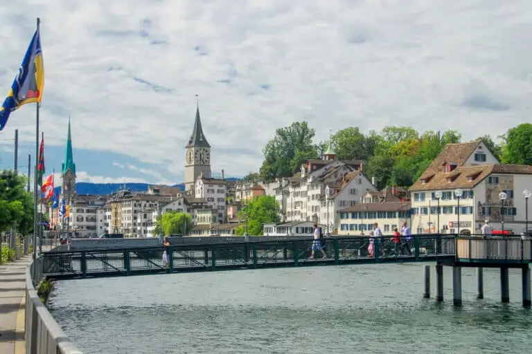
- From the ‘Bellevue’ tram stop, turn left and cross the bridge 'Quaibrücke'.
- On the other side of the bridge, you'll arrive at the Bürkliplatz boat dock and the southern end of the Bahnhofstrasse: Zurich’s main shopping street.
Section 2: from the lake via the Bahnhofstrasse to the train station
- Walk up the Bahnhofstrasse to the Paradeplatz (550 meters from Bürkliplatz). It is the location of Zurich’s busiest tram stop, headquarters of UBS and Credit Suisse banks and the first location of a Confiserie Sprüngli chocolate shop in 1859. It boasts one of the most expensive real estate areas in Europe.
- From Paradeplatz, cross the Bahnhofstrasse and walk onto the Waaggasse. Turn right on the Münsterhof, following this street until you reach the Fraumünster church (110 meters).
- Cross the plaza beside Fraumünster and walk along Storchengasse for 130 meters where you turn left on Stegengasse.
- After 20 meters, turn right on Schlüsselgasse and follow it for 60 meters before arriving at St. Peters Church with Europe’s largest clock face (yes, bigger than the Big Ben!).
- From St. Peter’s Church, continue walking on Schlüsselgasse for 60 meters and keep right to walk up Pfalzgasse. After 50 meters, you will be on the Lindenhof hill with a park and observation deck overlooking the Limmat River and its eastern bank.
- Now turn and walk back down the Pfalzgasse. Make a right on Strehlgasse and another quick right onto Rennweg.
- After 250 meters, you are back on the Bahnhofstrasse which you can follow back to the Zurich train station (350 meters) where you started.
Map of the Zurich city walk


Best months for a Zurich walk
This hike can be done all year round. We think it's suitable in any season.
Zurich isn't known as a winter destination, so November to March may not seem to be the ideal season. But this quick hike can be an interesting urban addition to a winter or ski holiday in the mountains. And you'll probably love the beautiful Zurich Christmas markets in late November and December!
Weather and forecast
How to dress
Other than solid shows you don't need specific gear. Just dress according to the forecasts.
Best weather for this hike
This route is suitable for (nearly) dry weather. We don't recommend this Zurich walk in continuous rain, but it's really no problem if a few rain showers come along. Just spend some time in a shop along the Bahnhofstrasse, or in one of the many restaurants and cafes you'll encounter.
Forecasts for Zurich


More activities near Zurich