Moosalp circular hike: the facts
- Hiking time: 1h15
- Difficulty: moderate
- Elevation: 1993 – 2121 m
- Distance: 5.0 km
- Terrain: meadows, forest
- Region: Matter Valley (Valais)
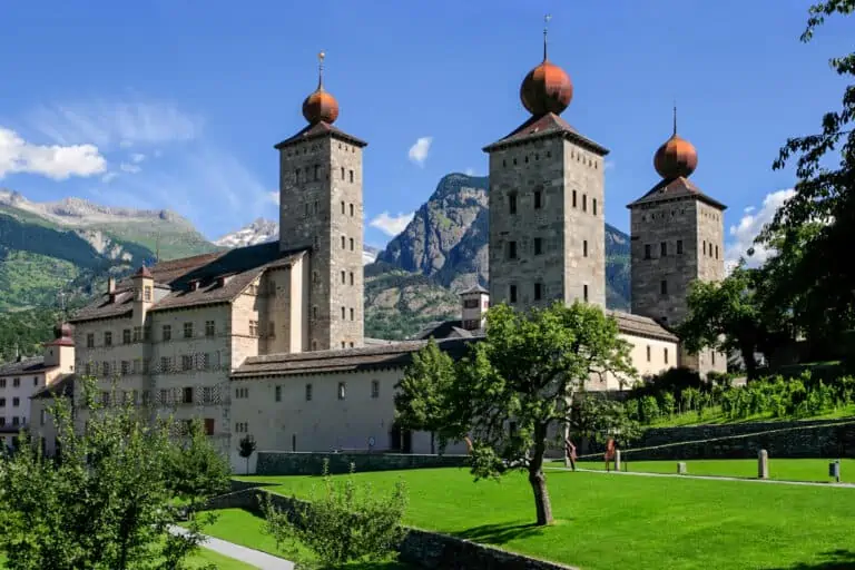
- Nearest larger town: Visp (near Brig)
About this trail
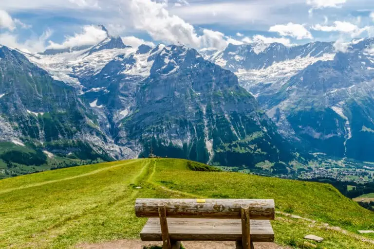
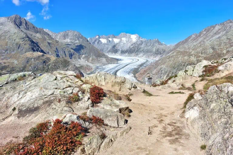
Moosalp is a woody plateau with relatively easy trails accompanied by panoramic views. The first section of the route offers a wide view of Grächen and the Ried glacier behind it.
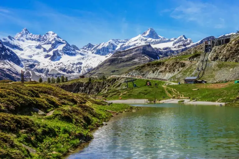
The next viewing point is Stand. Most of the Matter Valley can be seen from here, with the Ried glacier, the tourist resort of Grächen, the Weisshorn, the Dom, and the Breithorn on the Italian border. The triangular Bietschhorn, on the opposite side of the Rhône Valley, dominates the view to the north.
Directions and map
How to get to and from Moosalp
Moosalp can be reached by post bus or by car from Visp (near Brig) or Stalden. The post bus is recommended, as it allows you to fully enjoy the view on the way. It also spares you from a car ride on a long and narrow mountain road, with a difference in altitude of 1200 m (3940 ft).
The hiking route
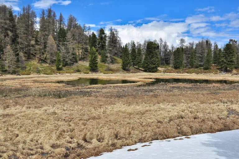
Follow the signs to Stand first. From Stand, head for the Boniger See. Walk along the right bank to take the trail into the woods on the other side of the lake. Turn left on the fork in this narrow path.
The trail descends until you reach a second lake. Pass by the right side of the lake and follow the trail along the bank on the other side. A wide bend of about 500 m (1600 ft) leads you back to the Boniger See. Follow the signs back to Moosalp from here.
Map of the trail

Promotions 

Various multi-day packages for guided and self-guided trips to Switzerland. The offerings change regularly. Packages including surrounding countries are available too.
About the Valais, Zermatt, and Brig
Valais
Zermatt
More blog articles you may like
Gornergrat, Matterhorn Glacier Paradise, Sunnegga-Rothorn
Hike Täsch-Zermatt