Murtèl-Pontresina: the facts
- Hiking time: 4h00
- Difficulty: difficult
- Elevation: 1772 – 2757 m
- Distance: 12.3 km
- Terrain: high-alpine areas and a valley with meadows, forests and rocky areas
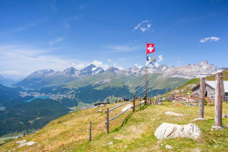
- Region: Upper Engadine (Graubünden)
About this trail
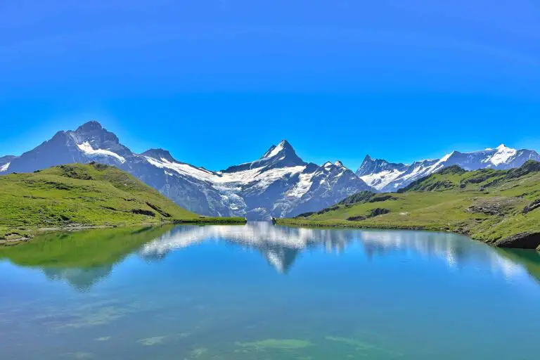
The highest point of the route, Fuorcla Surlej, offers magnificent views all around. You can see the highest mountain in the region (Piz Bernina) and the surrounding glaciers from here. Then you’ll descend into the Roseg Valley and head to Pontresina via forests.
Directions and map
How to reach Murtèl
Surlej can be reached by car or by bus from St. Moritz or Maloja. Take the cable car from Surlej to the Corvatsch but get off at the mid-station of Murtèl.
How to travel back from Pontresina
From Pontresina, there are trains to St. Moritz, Samedan and the Bernina Pass. There are bus services to St. Moritz, Samedan and Celerina.
Hiking route
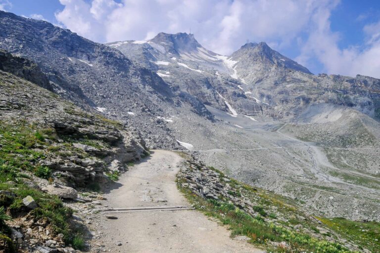
You will follow the signs to the highest point of the route: the pass Fuorcla Surlej. Then start following the signs to the Roseg Valley and Pontresina. There’s a steep descent over a zig-zagging path into the Roseg Valley where you reach a hotel-restaurant. The last section runs through the forest in the valley to Pontresina.
Route Murtèl-Pontresina on a map

Promotions 

Members-only promotion

This promotion is available to members only. Check out all the benefits members have access to.

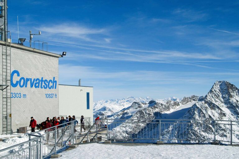
Corvatsch

Hike Täsch-Zermatt

Hike First-Grosse Scheidegg