InfoMySwissAlps.com includes display ads, non-commercial links, and commercial links to Stay22 and other trusted partners.

Hiking from Piz Nair above St. Moritz down to the Bever Valley Copy link to clipboard

Long trail with landscapes varying from untouched high-mountain scenery to the romantic Bever Valley.

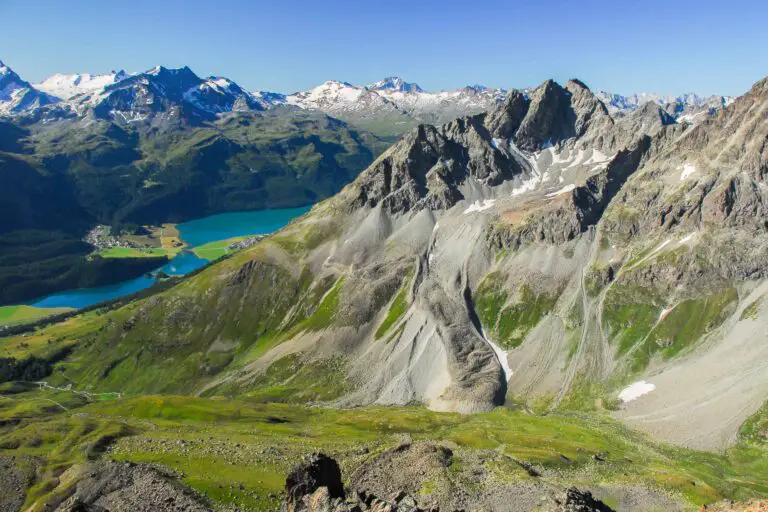
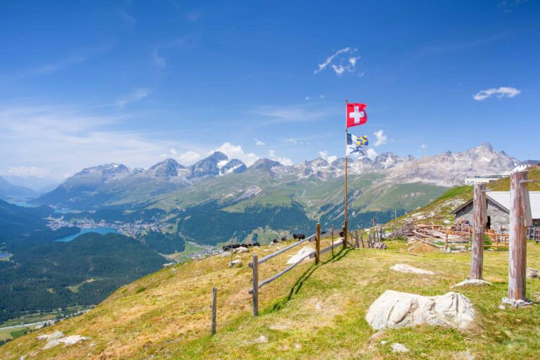
View on Surlej and the Engadine mountains from Piz Nair

Switzerland trip planning, the easy way

➤ MySwissAlps Plan + Package: tell us what you’re looking for, and we’ll make it happen. Save time, avoid mistakes. See how it works

Piz Nair-Bever: the facts

  • Hiking time: 5h45
  • Difficulty: moderate
  • Elevation: 1709 – 3027 m
  • Distance: 16.3 km
  • Terrain: high-alpine rocky areas, meadows, forests, and a valley floor
  • Region: Upper Engadine (Graubünden)

About this trail

You start at an altitude of about 3,000 m (9,840 ft) where you can enjoy a great view of St. Moritz and the lakes of the Engadine. The trail leads through a bare but beautiful mountainous area to the secluded valley Suvretta da Samedan.

You are still high over the tree line so the vegetation primarily consists of mosses. In spite of that, animal life can be found here too, such as the ‘Murmeltiere’ (mountain marmots) that hide between the rocks. Then the Bever valley comes in view.

After you have entered the valley, a descending path leads you to the tree line and into the forest. Eventually, you will reach the train station of Spinas. There is also a hotel-restaurant. In order to reach the train station of Bever you need to continue on a very gradually descending narrow road for another hour.

At Spinas you can watch the construction works of the new Albula railway tunnel. Because of this, you may encounter trucks on the otherwise quiet road between Spinas and Bever.

Directions and map

How to reach Piz Nair

Piz Nair can be reached through three sections from the town center of St. Moritz: two funiculars and a cable car. St. Moritz can be reached by public transport or by car. The cable car station can be reached on foot from the rail station. It’s an uphill walk of 15 minutes. Alternatively, you can take a bus to “St. Moritz Schulhausplatz”.

How to get back from Bever

Take the train from Bever to Samedan/St. Moritz, Chur or Zernez.

Hiking route

Simply follow the signs to Val Bever, Spinas, and Bever. See the map below for details.

Map of the trail from Piz Nair to Bever

Maps are available to members only
Check out all the benefits members have access to
Create a free account
Map
About St. Moritz and the Engadine Copy link to clipboard
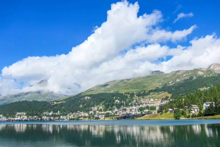
St. Moritz in the Upper Engadine, Graubünden

St. Moritz

St. Moritz is an upper-class alpine town. Located in the magnificent Upper Engadine valley in Graubünden, the town is a …
Panorama of the Upper Engadine from Muottas Muragl

Engadine

The Engadine is a high-altitude valley in the canton of Graubünden. This is where you'll find the famous resort of …
Other blog posts of interest Copy link to clipboard
Local train between Täsch and Zermatt

Hike Täsch-Zermatt

Walk along the railroad in the Matter Valley to the famous mountain resort Zermatt.
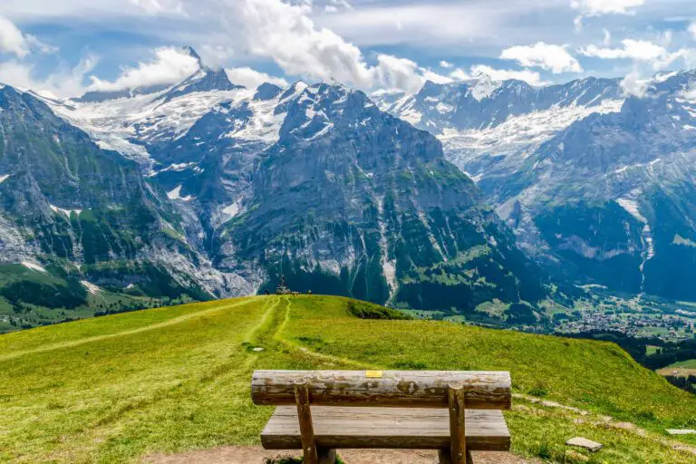
Bench with view of Schreckhorn and Grindelwald, between First and Grosse Scheidegg

Hike First-Grosse Scheidegg

Easy walk across alpine meadows with great views of the Jungfrau massif. You can continue by bus or on foot …
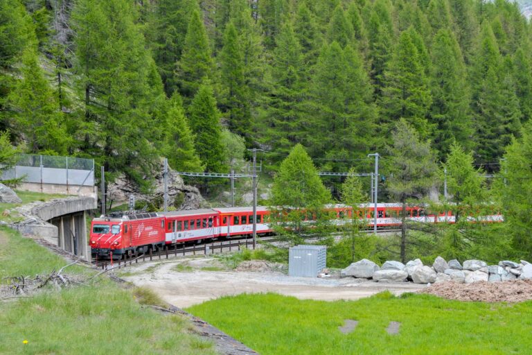
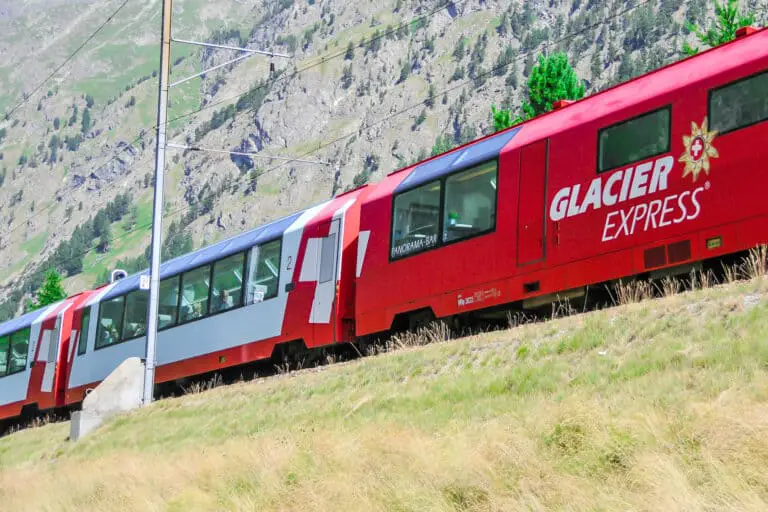
Glacier Express train in Val Bever

Glacier Express reservations

This is how to get your seat reservations for the popular Glacier Express in 2026: my 7 insider tips.
Reflection of Schreckhorn and Finsteraarhorn in Bachalpsee

Hike First-Bachsee

Popular, easy trail to a beautiful mountain lake with reflections of the Schreckhorn and other mountains above Grindelwald.
Church in Kander valley near Kandersteg

Hike Kandersteg-Frutigen

Enjoy the Kander Valley and learn about the Lötschberg Mountain Railway at the same time.
Rosenlaui valley towards Grindelwald, Wetterhorn and Eiger from Hasliberg

Hike Grosse Scheidegg-Meiringen

Admire the great scenery during this hike between the valleys of Grindelwald and Meiringen. It starts just above the tree …
Rhätische Bahn train between Preda and Bergün

Hike Preda-Bergün

Watch the famous red trains of the Albula train line and the amazing landscape.
One of the Viaduct Shuttle trains crossing the Landwasser Viaduct.

Landwasserwelt

Break your ride between Chur and St. Moritz to enjoy the Landwasserwelt: viaduct views, scenic and nostalgic trains, hikes, and …
Rock formation at Schynige Platte, Bernese Oberland

Hike Schynige Platte

Beautiful circular panorama trail with alpine flowers and views of the Jungfrau.
Panorama views over the Upper Rhone valley from Fiescheralp

Hike Bettmerhorn-Märjelensee-Fiescheralp

Extraordinary trail along the Aletsch Glacier with many beautiful views of the Bernese and Valaisian Alps.

About MySwissAlps

We’re Arno & Annika: passionate, frequent Switzerland travelers. We help you plan your trip, or we plan it for you. MySwissAlps was founded in 2002.

Want us to plan your trip?

The easiest way to plan your trip is to let us handle the itinerary design and bookings for you. We design a unique, independent journey based on your wishes.

Just need some help planning your trip?

Ask your questions to us personally or to the forum. Or see how we plan Swiss holidays for real travelers, and discover how to avoid mistakes.

Annika
Page author: AnnikaSince early childhood I've been visiting Switzerland during my holidays and I just fell in love with the country. I spent many summers in the Bernese Oberland, which still feels like my second home, and then started to explore other areas. Traveling, hiking and photographing in the Swiss Alps are my absolute favorite activities.