Piz Nair-Bever: the facts
- Hiking time: 5h45
- Difficulty: moderate
- Elevation: 1709 – 3027 m
- Distance: 16.3 km
- Terrain: high-alpine rocky areas, meadows, forests, and a valley floor
- Region: Upper Engadine (Graubünden)
About this trail
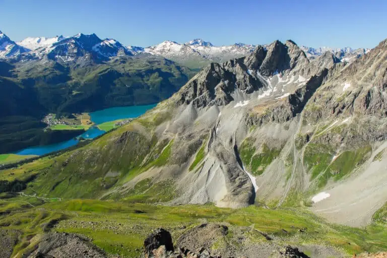
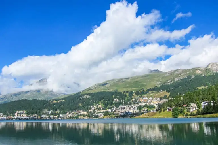
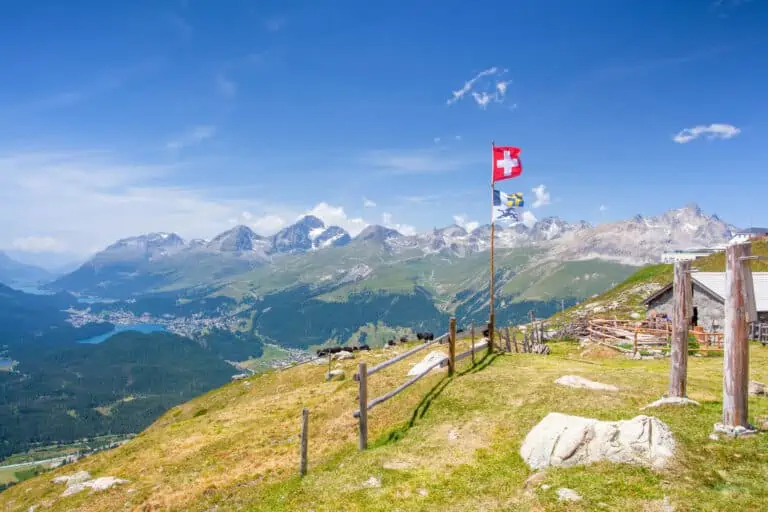
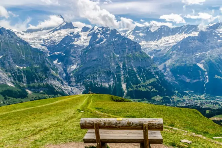
You start at an altitude of about 3,000 m (9,840 ft) where you can enjoy a great view of St. Moritz and the lakes of the Engadine. The trail leads through a bare but beautiful mountainous area to the secluded valley Suvretta da Samedan.
You are still high over the tree line so the vegetation primarily consists of mosses. In spite of that, animal life can be found here too, such as the ‘Murmeltiere’ (mountain marmots) that hide between the rocks. Then the Bever valley comes in view.
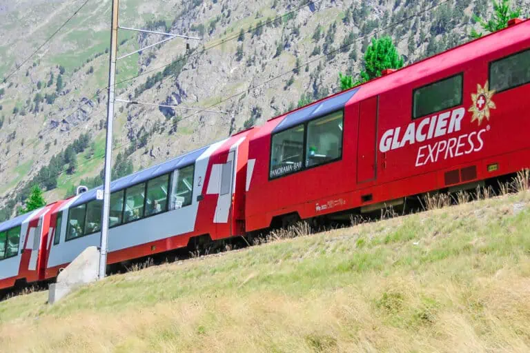
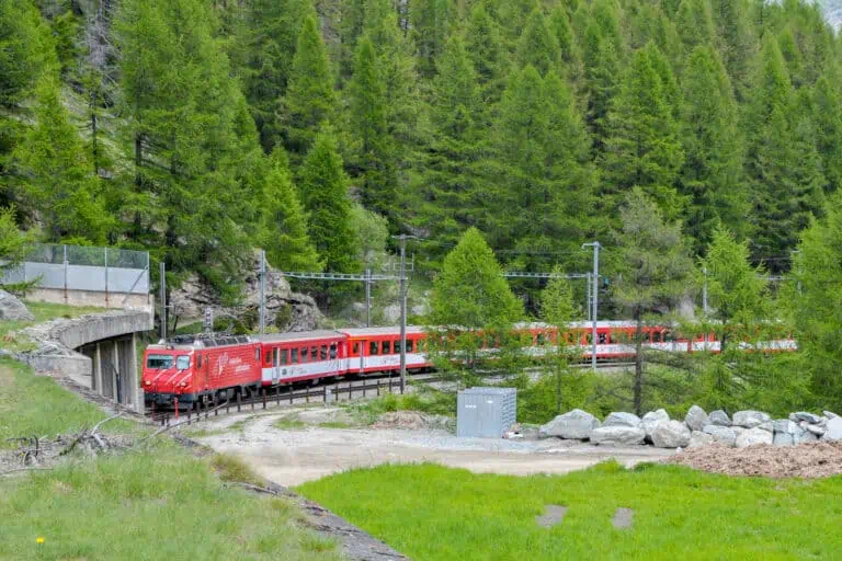
After you have entered the valley, a descending path leads you to the tree line and into the forest. Eventually, you will reach the train station of Spinas. There is also a hotel-restaurant. In order to reach the train station of Bever you need to continue on a very gradually descending narrow road for another hour.
At Spinas you can watch the construction works of the new Albula railway tunnel. Because of this, you may encounter trucks on the otherwise quiet road between Spinas and Bever.
Directions and map
How to reach Piz Nair
Piz Nair can be reached through three sections from the town center of St. Moritz: two funiculars and a cable car. St. Moritz can be reached by public transport or by car. The cable car station can be reached on foot from the rail station. It’s an uphill walk of 15 minutes. Alternatively, you can take a bus to “St. Moritz Schulhausplatz”.
How to get back from Bever
Take the train from Bever to Samedan/St. Moritz, Chur or Zernez.
Hiking route
Simply follow the signs to Val Bever, Spinas, and Bever. See the map below for details.
Map of the trail from Piz Nair to Bever

Promotions 

Various multi-day packages for guided and self-guided trips to Switzerland. The offerings change regularly. Packages including surrounding countries are available too.
About St. Moritz and the Engadine
St. Moritz
Other blog posts of interest
Hike Täsch-Zermatt
Hike First-Grosse Scheidegg