Furi-Zermatt: the facts
- Hiking time: 1h15
- Difficulty: easy
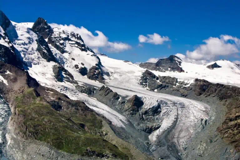
- Elevation: 1612 – 1994 m
- Distance: 4.2 km
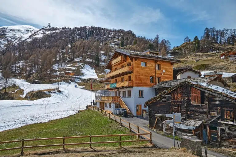
- Terrain: meadows and forests
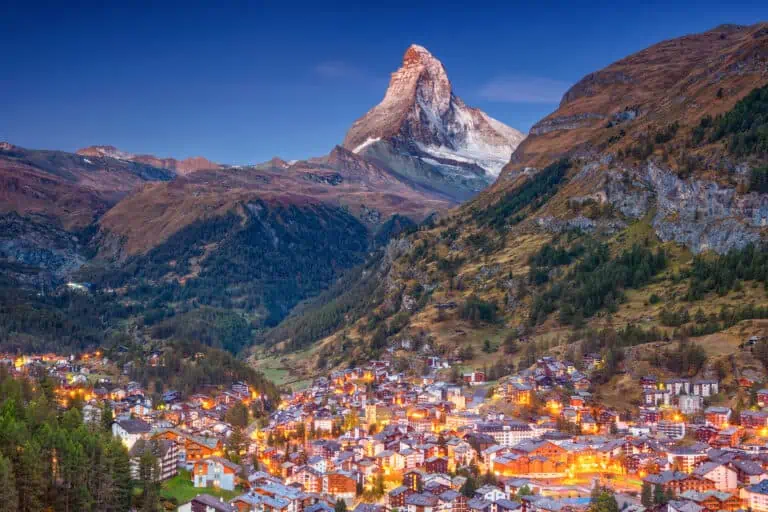
- Region: Zermatt in the Matter Valley (Valais)
About the route
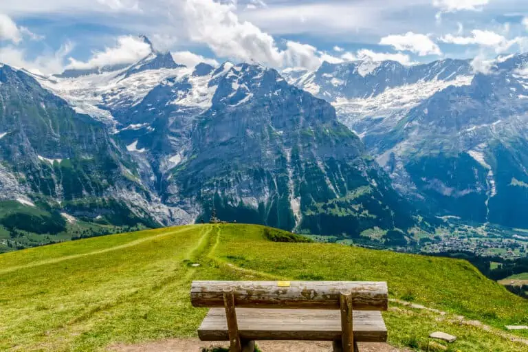
This short route is an excellent way to get to know the surrounding area of Zermatt. You will particularly walk past and through forests, and then get back to the shopping streets of Zermatt via the settlement of Zum See.
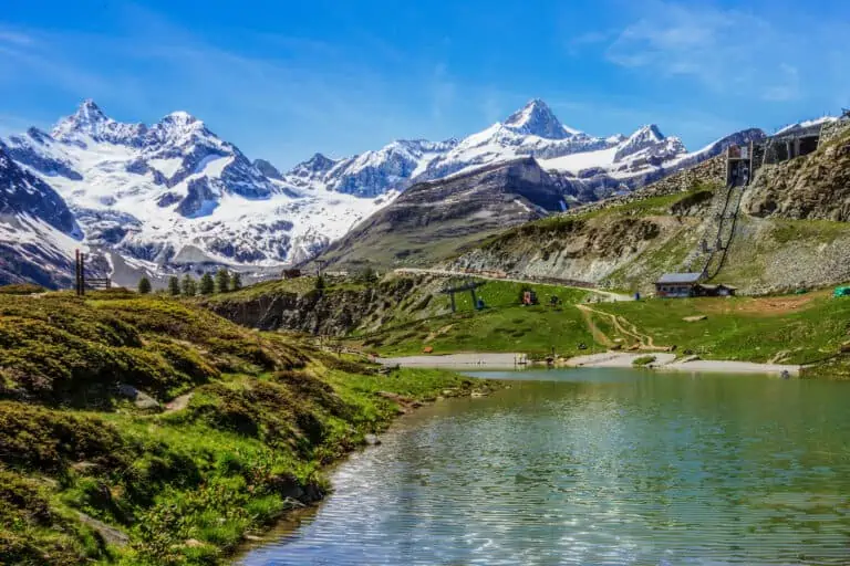
There are views of the Matterhorn, the Breithorn and the Adlerhorn along the way.
Directions and map
How to get to Furi
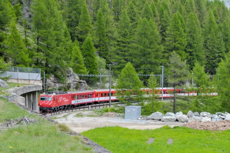
Furi can be reached by gondola from Zermatt. It takes 20 minutes to walk from the railway station to the gondola. Zermatt is car-free and can only be reached by train.
From Furi, cable cars go further up into the mountains to Matterhorn Glacier Paradise and Schwarzsee. You can go there first and do this hike later.
Drivers can park in nearby Täsch. There are frequent train services from Täsch to Zermatt.
Hiking directions
- From the gondola station of Furi, follow the signs to Schwarzsee, until the path ends in a sharp bend of a wide path.
- Turn right at the descending path. Turn left at the fork quickly after.
- Keep following the wide descending path until an intersection. Head for Zermatt here.
- Head for Zum See at the intersection with an asphalt road (Bielti). Turn right at the fork. There is pasture land at your left now. You will pass a restaurant on your left side as you walk through the settlement of Zum See.
- Turn left for Zermatt about 500 m (1600 ft) out of Zum See. You will cross a bridge over the Zmuttbach and reach Zermatt shortly after.
- Walk straight ahead to the railway station through the Zen Steckenstrasse, the Oberdorfstrasse and the Bahnhofstrasse.
Hiking trail Furi-Zermatt on a map

Promotions 

Various multi-day packages for guided and self-guided trips to Switzerland. The offerings change regularly. Packages including surrounding countries are available too.
Our guides for Zermatt and Matterhorn Glacier Paradise
Zermatt
Matterhorn Glacier Paradise
Other blog posts of interest
Gornergrat, Matterhorn Glacier Paradise, Sunnegga-Rothorn
Hike Täsch-Zermatt