About this Bellinzona town and castle walk 
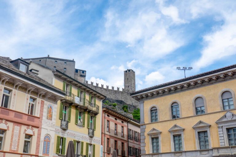
This self-guided walk in Bellinzona allows you to explore the town center with the Piazza Nosetto and Piazza Collegiata (town squares), the town hall (Palazzo Civico), the Castelgrande (Great Castle) and the other two castles just outside the town. More information about the castles of Bellinzona can be found here.
This 5.6 km-route takes 2 hours without breaks. Count on significantly more time if you also plan to visit one or more of the castle museums. Note that you'll have to climb and descend 241 m in total. It's worth it though: the view from the highest castle (Sasso Corbaro) is rewarding!
A quicker alternative walk, in which you only explore the town center of Bellinzona and the Castelgrande, can be found here.
➤ Prices for our hike
Costs for the walk and access to the castles
This Bellinzona walk itself doesn't cost anything. If you want to access the castles you'll have to pay, unless you have a rail pass that offers free access. An example is the Swiss Travel Pass.
Find information about the castle access prices and rail pass reductions here.
Tickets to reach Bellinzona
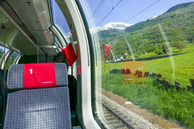
You may need to travel to Bellinzona first, which is best done by train. The hiking route starts at the train station.
If you're using a rail pass, you may be entitled to discounted or free traveling to Bellinzona. Without a rail pass you'll have to buy normal full-fare tickets.
Walking route directions and map
How to reach Bellinzona
You can travel to Bellinzona by train and by car. A train trip is the easiest option. The walk starts and ends at the train station. Details about traveling to Bellinzona are available here.
Route description
You can find the route on the map on this page. I offer detailed street-by-street directions as well:
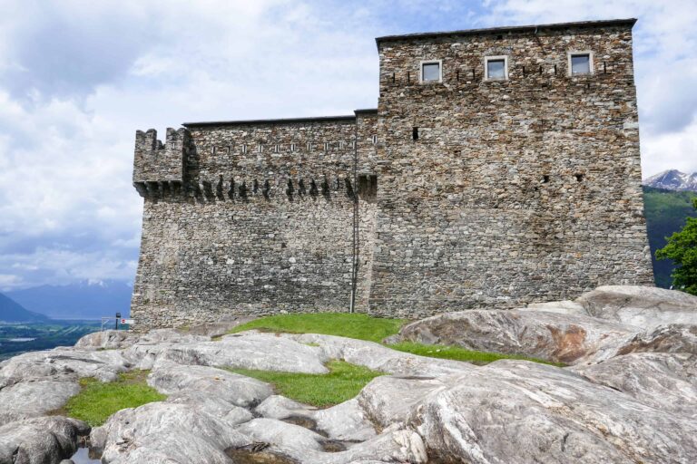
Section 1: Montebello and Sasso Corbaro
- Exit the train station and turn left into the Viale Stazione towards the center of town.
- Keep walking straight ahead until you reach the square (Piazza Collegiata) after about 550 m. Turn left into the alley Salita alla Motta.
- Continue following the path up the hill (see the map) until you reach the first castle Montebello after 400 m or so.
- Enter the courtyard of the castle and exit it on the other side.
- Follow the path to the road (Via Artore), then take the footpath up the hill leading away from the road.
- You'll again reach the Via Artore as the path is a shortcut for the road winding its way up the hill. Cross the street, and again take the footpath to reach the Via Artore again further up the hill.
- Turn left and follow the Via Artore for 150 m. Take a U-turn into Via Benedetto Ferrini.
- After 100 m, turn left into the path going further up the hill. Follow the path for about 300 m, until you can turn left into a steep rocky path leading up to the castle.
- You've now reached the highest point of this hike. Enjoy the view!
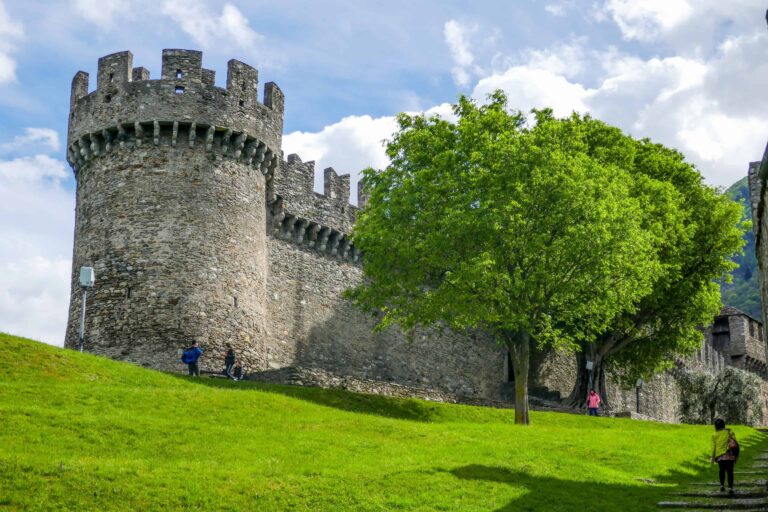
Section 2: center of town and Castelgrande
- Walk all the way back until the Piazza Collegiata. Turn left to enter the Piazza Collegiata and Via Nosetto.
- Walk straight ahead into the Via Camminata. You'll quickly reach a square (Piazza Indipendenza).
- Turn right into the Via Dogana. Follow the street for 200 m until you've passed a small park on your right.
- Turn right, then turn right again (Piazza Governo) and enter the Via Teatro.
- You'll quickly see the town hall (Palazzo Civico) on your right. It pays off to have a look at the courtyard. The route continues left into the narrow alley Vicolo al Sasso up the hill.
- Turn right at the end of the alley. Then turn left after about 100 m to walk the last bit up the hill to reach the last castle: Castelgrande.
- Take a look around the courtyard and the castle itself, then leave via the elevator at the eastern side of the castle grounds (see the map).
- The elevator takes you down to the Piazza del Sole (Sunny Square). Enter the Largo Elvezia at the opposite side of the square. Then turn left to reach the train station.

Best months for this walk
This hike can be made year round. I advise you to make it in early April to late October though. All three castle museums are open and the hills around Bellinzona are prettiest from spring to fall.
Bellinzona is at low altitude, so there's usually no or just a little snow in winter and nature isn't at its best.
Weather and forecast
How to dress
You need solid hiking boots, especially for the upper part of the route to Sasso Corbaro. It's a forest path with a few steep segments.
Best weather for this hike
This Bellinzona walk is suitable for dry weather. In moisty conditions the upper part of the path to Sasso Corbaro can get slippery.
It can get pretty hot in and around Bellinzona during summer. The climb to the two higher castles may be tiring in the heat. Start your hike in the early morning or late afternoon if you want to avoid the warmest part of the day.
➤ Find Bellinzona tickets and tours
Find entrance tickets for the castles and other (guided) tours to Bellinzona.

Promotions
There are currently no promotions available.
Castles of Bellinzona
Town walk Bellinzona
Gotthard Panorama Express