About this Olten town walk 
This is a self-guided walking tour in the small historical town center of Olten. This pretty village is located in the northern Swiss canton Solothurn. The route includes the market place, city tower, monastery and the old and new bridge across the river Aare.
Although the 1.8 km-hike can be done in 30 minutes without breaks, I advise taking 1 to 2 hours. This way, you'll have time to take pictures and have a break or lunch.
➤ Prices and transportation tickets
The walk: free
The hiking route in Olten is free.
Tickets to travel to Olten
If you're not staying in Olten you'll have to get there first. This is best done by train. Rail passes can allow discounted or free traveling to Olten. Without a rail pass, you'll have to buy normal full-fare tickets.
Town walk directions and map
How to get to Olten and back
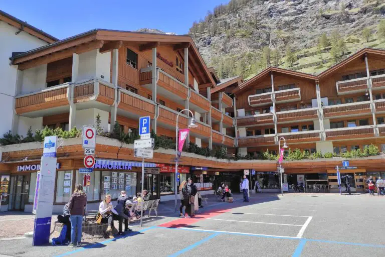
Olten is centrally located in northern Switzerland. It can easily be reached by train from Basel, Bern, Lucerne, Zurich, and many other places. This walking tour starts and ends at the train station. Olten can be reached by car as well.
Walking route description
You can find the route on the map below. In addition, here are my detailed street-by-street directions:
Section 1: from the train station to the Munzingerplatz
- Exit the train station and turn left.
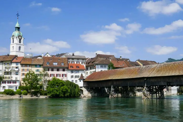
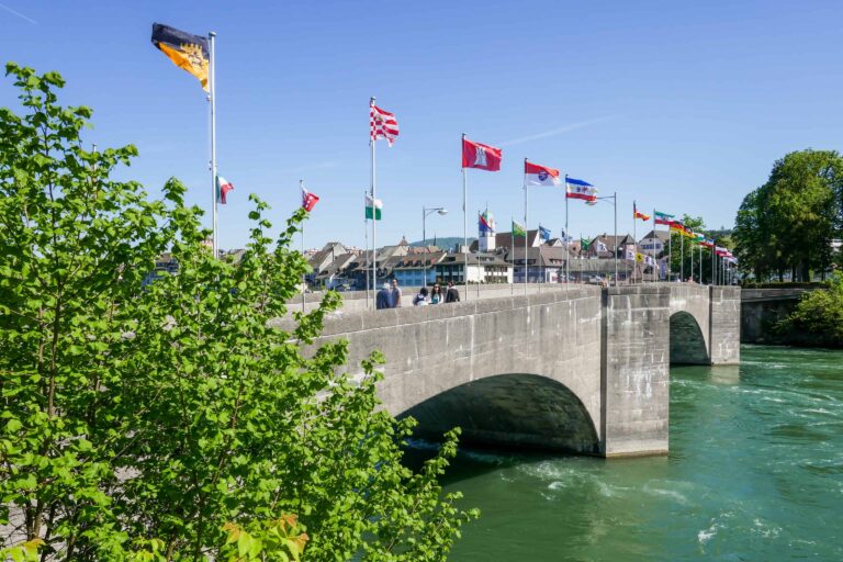
- Take the lower path along the river Aare until you reach the old bridge ('Alte Brücke'). The bridge dates back to 1295 and suffered from several fires.
- Cross the bridge and keep walking straight ahead through the Hauptgasse.
- You'll reach the Munzingerplatz (a square) with the St. Martin church on the right. Walk straight ahead into the Kirchgasse, until you reach a small square after 100 m.
- Turn right, and cross another square until you reach the Konradstrasse.
- Turn right into the Konradstrasse and turn right into the Baslerstrasse after passing the St. Martin church. You're now back at the Munzingerplatz.
Section 2: from the Munzingerplatz to the train station
- Walk straight ahead into the Mühlegasse.
- Turn left just before the river, then immediately left again into the alley called 'Oberer Graben'.
- After 75 m, turn right into the Hauptgasse.
- After 20 m, turn right into the Marktgasse. You'll reach the city tower ('Oltner Stadtturm'), which was built in 1521.
- Pass the tower and immediately turn left into the Hauptgasse. Then turn left and immediately turn right. This street is still called Hauptgasse. At the end of the street turn right into Fröschenweid.
- Then turn left and keep walking along the river. You'll pass the monastery ('Kapuzinerkloster') on your left. It was founded in 1646.
- Turn right to cross the new bridge. You're now back at the train station.

Best months
This walk in Olten is suitable for any time of the year. I think early April to late October is best though.
Olten is at relatively low altitude, so you shouldn't expect snow here in winter. This hike will be great on sunny winter days, but overall, the town and the river Aare may look less attractive between November and March.
Weather tips and forecasts
How to dress
Comfortable shoes are most important for this walk. Other than that, just dress according to the forecasts.
Best weather for this hike
Dry or nearly dry weather is preferable. Clouds or light drizzle aren't a problem, but of course the village and the river Aare look most vibrant in sunny skies.
➤ Find other tours

If this town walk in Olten appeals to you, you may like these similar Swiss village routes as well.
Town walk Rheinfelden
Town walk Zermatt