

Faulensee-Spiez: the facts
- Hiking time: 1h40
- Difficulty: easy
- Elevation: 557 – 672 m
- Distance: 7.7 km
- Terrain: vineyards, small villages and forests along a lake
- Region: Lake Thun (Bernese Oberland)
About the trail
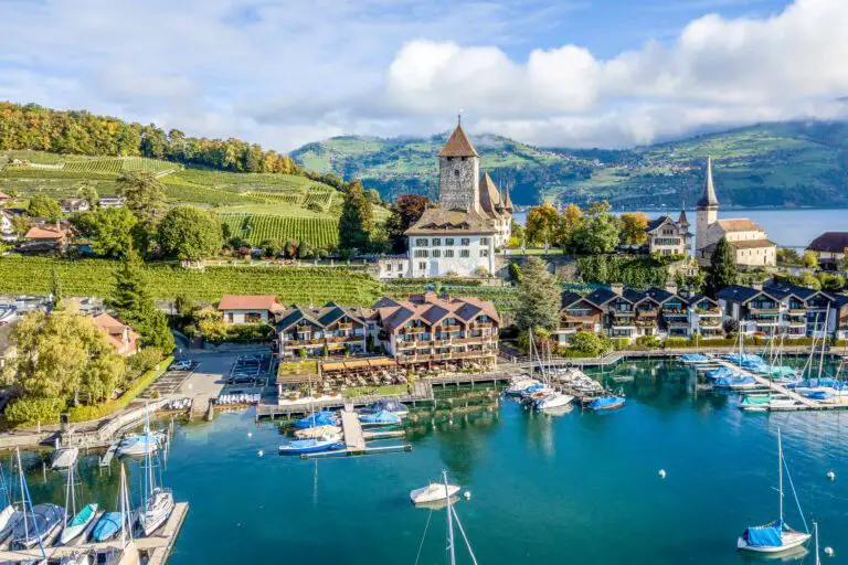
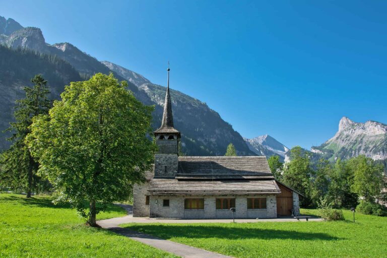
The varying surroundings of Spiez allow you to walk along the lake, through a pleasant little harbor, along vineyards and through the forest.
This route is suitable for any kind of weather. The coolness of the water and the Mediterranean atmosphere in the marina welcome you on warm and sunny days. The route offers several shortcuts to terminate your hike in advance when the weather conditions are not that great.
Directions and map
How to travel to Faulensee and from Spiez
Faulensee can be reached by bus from Spiez or Interlaken. From Spiez, there are many trains to travel to Interlaken, Brig, Bern or any other destination.
Hiking route details
- Follow the Kirschgartenstrasse from the former railway station of Faulensee. At the end, turn right into the Interlakenstrasse and start following the signs “Strandweg”. You will have a beautiful view of the eastern part of Lake Thun.
- As you continue to follow the Strandweg, you will pass along a small fish farm, where information boards show why it is necessary to artificially breed fish, and how it is done.
- You will pass the swimming pool at the end of the Strandweg, where you need to turn right towards the marina.
- Turn right again so that you have several sidewalk restaurants on your left and the quay on your right.
- Walk straight on until you reach the boat dock of the boats to Interlaken and Thun. Then walk back and go into the slightly ascending Seestrasse.
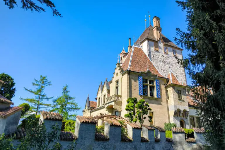
- Turn right into the Schlossstrasse and left into the Rebbergweg.
- Take the path to the right into the forest when you have reached the top of the Spiezberg. You will reach a viewing point a bit later, where you can see the western part of the Thunersee.
- Keep following the forest trail straight on. As you leave the forest you need to turn right into the Weidliweg, then left into the Thunstrasse.
- Keep following the Thunstrasse (don’t cross the railroad) until you can turn to the right into the Bahnhofstrasse that leads to the railway station.
Map with the hiking route
Maps are available to members only
Check out all the benefits members have access to

Our tips for the Bernese Oberland and cruises on Lake Thun 

Bernese Oberland
The Bernese Oberland is a popular Swiss holiday region south-east of the city Bern. You'll find a very diverse landscape …
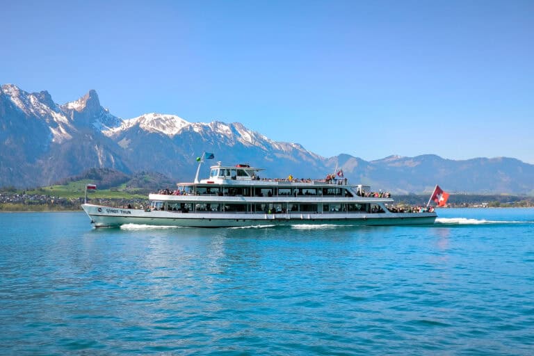
Boat Lake Thun
You can explore the large Lake Thun in the Bernese Oberland by boat. There are long cruises between Thun and …
Other blog posts you may like
Free with the Swiss Travel Pass in the Bernese Oberland
The Swiss Travel Pass includes a lot of free panoramic trips in the Bernese Oberland.

Hike Täsch-Zermatt
Walk along the railroad in the Matter Valley to the famous mountain resort Zermatt.

Hike First-Grosse Scheidegg
Easy walk across alpine meadows with great views of the Jungfrau massif. You can continue by bus or on foot …
Hike First-Bachsee
Popular, easy trail to a beautiful mountain lake with reflections of the Schreckhorn and other mountains above Grindelwald.
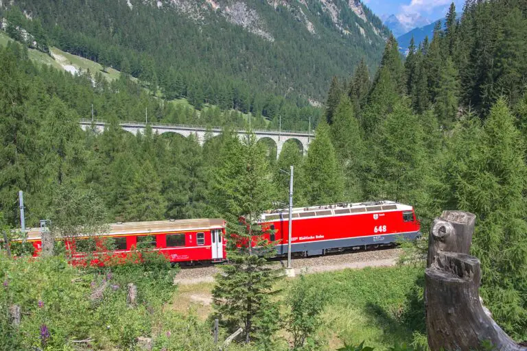
Hike Kandersteg-Frutigen
Enjoy the Kander Valley and learn about the Lötschberg Mountain Railway at the same time.

Hike Grosse Scheidegg-Meiringen
Admire the great scenery during this hike between the valleys of Grindelwald and Meiringen. It starts just above the tree …
Hike Schynige Platte
Beautiful circular panorama trail with alpine flowers and views of the Jungfrau.
Hike Bettmerhorn-Märjelensee-Fiescheralp
Extraordinary trail along the Aletsch Glacier with many beautiful views of the Bernese and Valaisian Alps.

Swiss Coupon Pass
Find out how the Swiss Coupon Pass works, what discounts are included, and if it's worth it.
