


Furi-Zermatt: the facts
- Hiking time: 1h15
- Difficulty: easy
- Elevation: 1612 – 1994 m
- Distance: 4.2 km
- Terrain: meadows and forests
- Region: Zermatt in the Matter Valley (Valais)
About the route
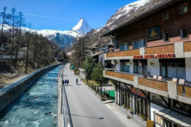
This short route is an excellent way to get to know the surrounding area of Zermatt. You will particularly walk past and through forests, and then get back to the shopping streets of Zermatt via the settlement of Zum See.
There are views of the Matterhorn, the Breithorn and the Adlerhorn along the way.
Directions and map
How to get to Furi
Furi can be reached by gondola from Zermatt. It takes 20 minutes to walk from the railway station to the gondola. Zermatt is car-free and can only be reached by train.
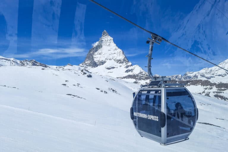
From Furi, cable cars go further up into the mountains to Matterhorn Glacier Paradise and Schwarzsee. You can go there first and do this hike later.
Drivers can park in nearby Täsch. There are frequent train services from Täsch to Zermatt.
Hiking directions
- From the gondola station of Furi, follow the signs to Schwarzsee, until the path ends in a sharp bend of a wide path.
- Turn right at the descending path. Turn left at the fork quickly after.
- Keep following the wide descending path until an intersection. Head for Zermatt here.
- Head for Zum See at the intersection with an asphalt road (Bielti). Turn right at the fork. There is pasture land at your left now. You will pass a restaurant on your left side as you walk through the settlement of Zum See.
- Turn left for Zermatt about 500 m (1600 ft) out of Zum See. You will cross a bridge over the Zmuttbach and reach Zermatt shortly after.
- Walk straight ahead to the railway station through the Zen Steckenstrasse, the Oberdorfstrasse and the Bahnhofstrasse.
Hiking trail Furi-Zermatt on a map
Maps are available to members only
Check out all the benefits members have access to

Our guides for Zermatt and Matterhorn Glacier Paradise 
Zermatt
Zermatt is a car-free, luxurious alpine village at the foot of the Matterhorn. It's a bit secluded, but you can …
Matterhorn Glacier Paradise
Prepare for a trip to Matterhorn Glacier Paradise (also called Klein Matterhorn). I explain all about the cable car ride, …
Other blog posts of interest
Gornergrat, Matterhorn Glacier Paradise, Sunnegga-Rothorn
Gornergrat, Matterhorn Glacier Paradise and Sunnegga-Rothorn: 3 amazing mountain excursions from Zermatt. How to choose, or how to combine these …

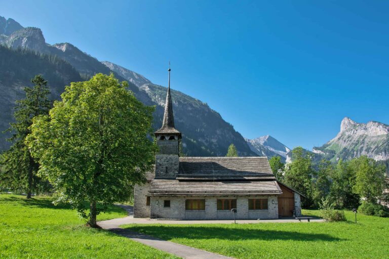
Hike Täsch-Zermatt
Walk along the railroad in the Matter Valley to the famous mountain resort Zermatt.

Hike First-Grosse Scheidegg
Easy walk across alpine meadows with great views of the Jungfrau massif. You can continue by bus or on foot …

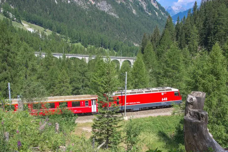
Glacier Express reservations
This is how to get your seat reservations for the popular Glacier Express in 2026: my 7 insider tips.
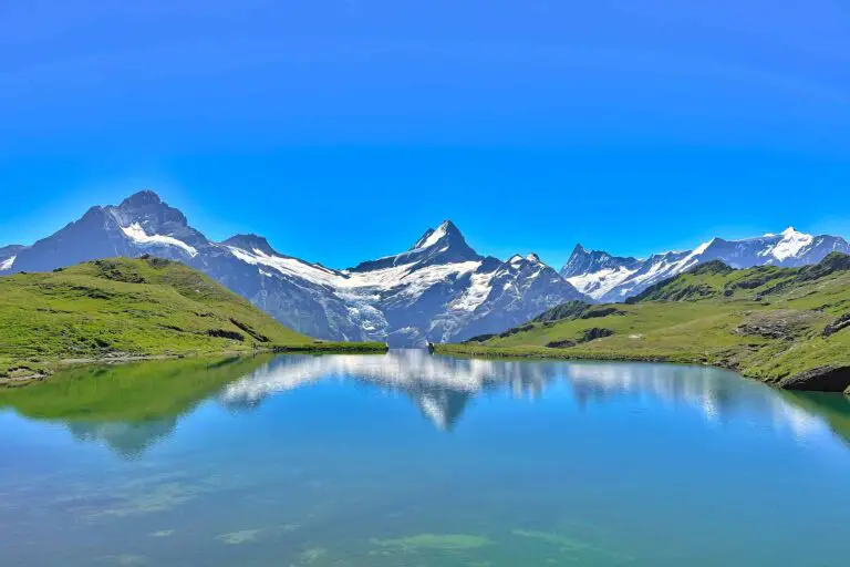
Hike First-Bachsee
Popular, easy trail to a beautiful mountain lake with reflections of the Schreckhorn and other mountains above Grindelwald.
Hike Kandersteg-Frutigen
Enjoy the Kander Valley and learn about the Lötschberg Mountain Railway at the same time.

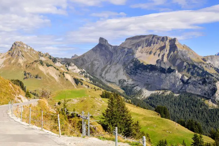
Hike Grosse Scheidegg-Meiringen
Admire the great scenery during this hike between the valleys of Grindelwald and Meiringen. It starts just above the tree …
Hike Schynige Platte
Beautiful circular panorama trail with alpine flowers and views of the Jungfrau.
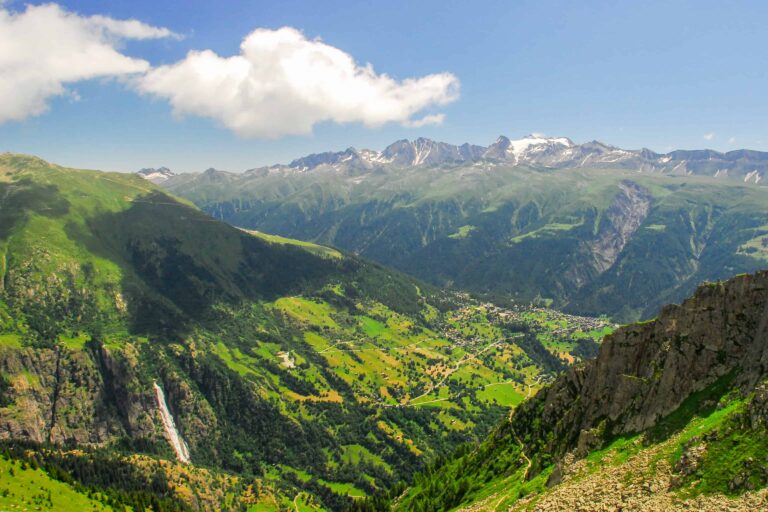
Hike Bettmerhorn-Märjelensee-Fiescheralp
Extraordinary trail along the Aletsch Glacier with many beautiful views of the Bernese and Valaisian Alps.
