Riffelalp-Sunnegga: the facts
- Hiking time: 2h30
- Difficulty: moderate
- Elevation: 2187 – 2349 m
- Distance: 7.9 km
- Terrain: along lake, rocky, meadow, forest
- Region: Matter Valley (Valais)
About this trail
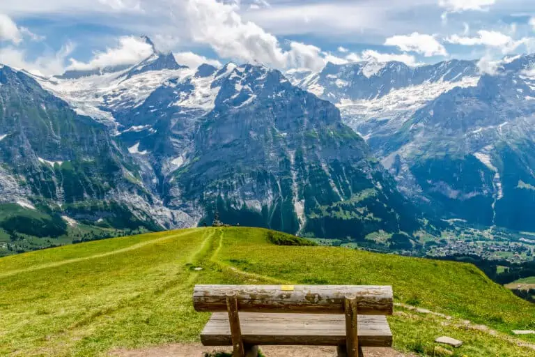
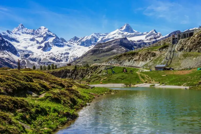
This beautiful route around the valley of the Findelbach leads you through both forests and high mountainous terrain. You’ll pass by several small lakes. There is a great view of the Matterhorn from the endpoint of Sunnegga.
Directions and map
How to reach Riffelalp
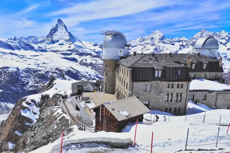
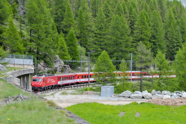
Riffelalp can be reached by cog trains that leave Zermatt for the Gornergrat. The cog train departs across the main railway station. Zermatt is car-free and can only be reached by train. Drivers can park next to the rail station in nearby Täsch. There are frequent train services from Täsch to Zermatt.
How to get back from Sunnegga
Take the underground funicular from Sunnegga back to Zermatt. It takes 10 minutes to walk from the funicular station to the main railway station in Zermatt.
The hiking route
- You will walk along a tramway for a short while as you follow the signs to Riffelalp.
- Turn right into the path that is heading down for Untere Riffelalp. Then turn left to Riffelalp/Riffelberg. Take the path to the right at the chapel.
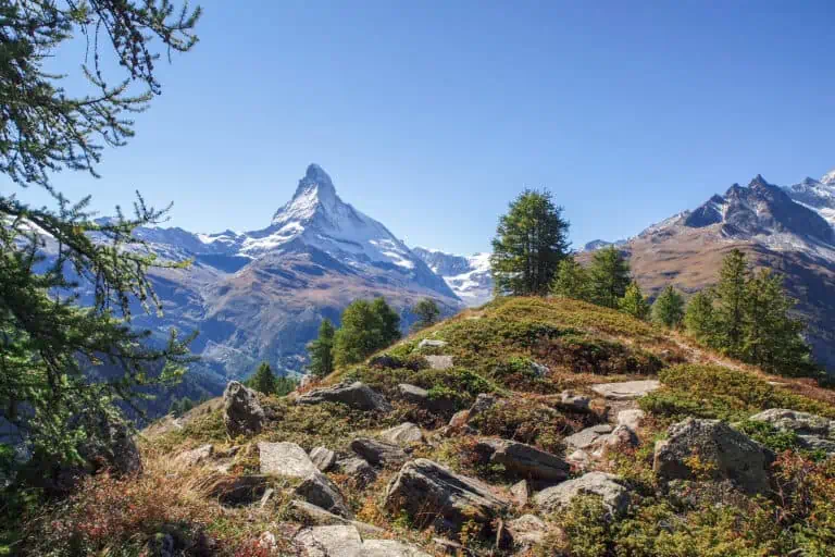
- At the hotel, take the path that ascends to Riffelberg/Monte Rosahütte. Then turn left to head for the Grünsee (ag small lake). You will have a great view of the Matterhorn, the Zmutt glacier and the drainage basin underneath.
- The trail crosses the cog railway from Zermatt to the Gornergrat. Keep heading for the Grünsee. On a fork, take the narrow path that descends to the left. It will join a wider path to the Grünsee shortly after.
- Pass the left side of the Grünsee and keep to the left until you reach a wider path. Follow this path until you can cross a bridge at your left to head for Stellisee/Blauherd.
- This wide path will finally ascend until you reach the Grindjisee, another small lake.
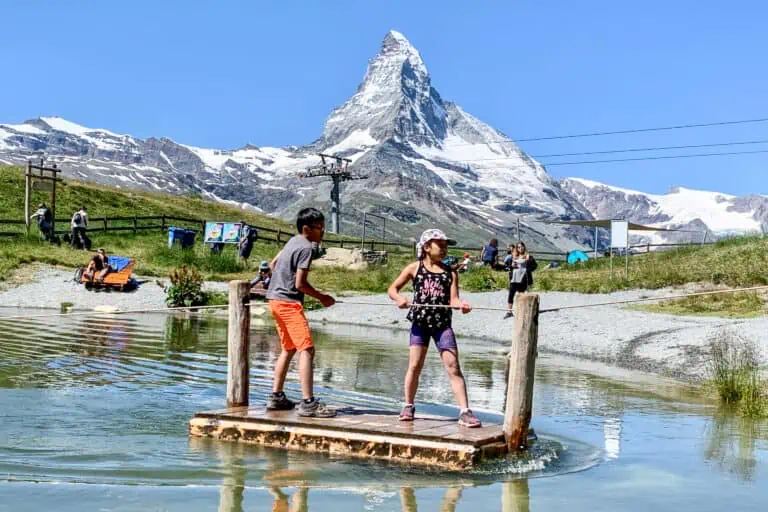
- Turn left into the gradually ascending path to head for Sunnegga. Just before Sunnegga, you will pass a third small lake: the Leisee.
- A short ascending path takes you up to the endpoint.
Map of the trail Riffelalp-Sunnegga

Promotions 

Scenic rail journeys (with guaranteed seat reservations), self-drive holidays, journeys to famous mountain peaks, and more. Choose your preferred hotels, number of nights, and excursions in each town. Apply the promo code AFFMYSWISSALPS for a 5% discount.

Various multi-day packages for guided and self-guided trips to Switzerland. The offerings change regularly. Packages including surrounding countries are available too.
Our info about Gornergrat and Sunnegga
Gornergrat
Sunnegga-Rothorn
Related blog articles
Gornergrat, Matterhorn Glacier Paradise, Sunnegga-Rothorn
Hike Täsch-Zermatt