Lauterbrunnen-Stechelberg: the facts
- Hiking time: 1h45
- Difficulty: easy
- Elevation: 800 – 925 m
- Distance: 6.7 km
- Terrain: meadows, valley
- Region: Jungfrau Region (Bernese Oberland)
About this trail
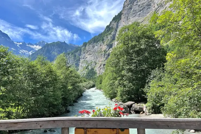
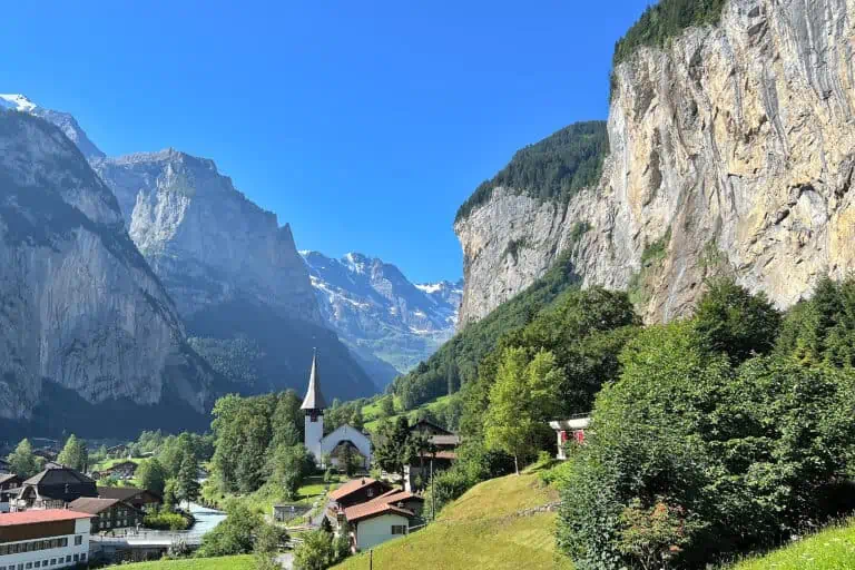
The hike from Lauterbrunnen to Stechelberg is not difficult at all. The wide flat path on the valley floor offers beautiful views of the surrounding rock walls, and an almost continuous view of the striking Breithorn at the end of the valley. You will pass some beautiful waterfalls among which the well-known Staubbach Fall just outside Lauterbrunnen.
Just before Stechelberg, there’s a cable car that can take you up to Mürren and the Schilthorn. You can optionally plan a side visit to the Trümmelbach Falls at the opposite side of the valley.
Directions and map
How to reach Lauterbrunnen
Lauterbrunnen can be reached by train or car from Interlaken, or from Wengen by train.
How to travel back from Stechelberg
There is a bus service from Stechelberg back to Lauterbrunnen.
Hiking route
Follow the signs to Stechelberg. The easy asphalt path starts in Lauterbrunnen and leads you south to Stechelberg without noticeable ascents or descents.
About 45 minutes before reaching Stechelberg, the path continues its way along a small river and through woods until the endpoint. You will reach the valley station of the cable car to the Schilthorn first. The village of Stechelberg is a bit further down the road.
Map with the hiking path in the Lauterbrunnen Valley
Promotions 
Scenic rail journeys (with guaranteed seat reservations), self-drive holidays, journeys to famous mountain peaks, and more. Choose your preferred hotels, number of nights, and excursions in each town. Apply the promo code AFFMYSWISSALPS for a 5% discount.
Various multi-day packages for guided and self-guided trips to Switzerland. The offerings change regularly. Packages including surrounding countries are available too.
All about Lauterbrunnen and the Schilthorn 
Lauterbrunnen

Schilthorn
Related blog articles 
Hike Täsch-Zermatt

Hike First-Grosse Scheidegg
