

Find Swiss town and city hikes, plus guided hikes
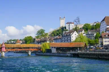
Town walk Lucerne
City trip, HikingMin. time required: 2:00
Easy city walk across the Old Town of Lucerne with famous and less-visited spots. See the City Wall, the Chapel Bridge, beautiful churches and ancient …
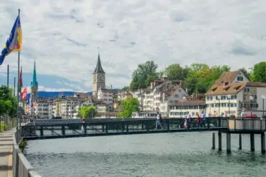
Town walk Zurich
City trip, HikingMin. time required: 2:00
This free city walk offers a great introduction to the pretty old town of Zurich. You’ll also scroll on the promenades along the river Reuss …
Town walk Geneva
City trip, HikingMin. time required: 1:30
Discover Geneva with our varied walk along the river Rhône and the lake, and in the old town center of Geneva. You’ll see the city …

Town walk Lausanne
City trip, HikingMin. time required: 1:00
Discover the architectural highlights of Lausanne on Lake Geneva with this easy 1-hour town walk.
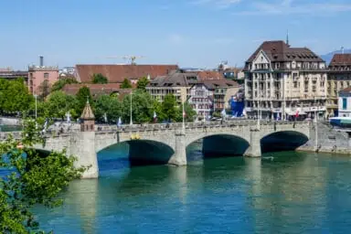
Town walk Basel
City trip, HikingMin. time required: 2:00
We created this free city walk for you to enjoy the historical city center of Basel in Switzerland in just a few hours. You’ll also …

Bürgenstock
Hiking, MountainsMin. time required: 2:30
The Bürgenstock ridge above Lake Lucerne has luxurious hotels, restaurants, fantastic views and the famous Hammetschwand lift. We share our tips to help you plan.
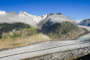
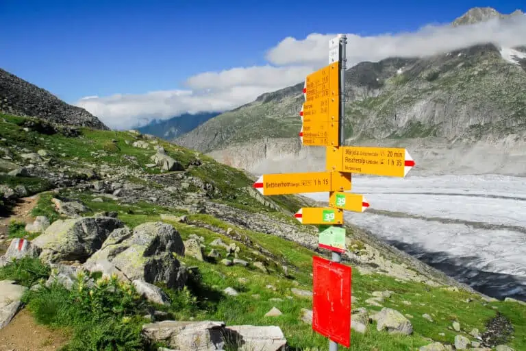
Aletsch Glacier
Hiking, Mountains, NatureMin. time required: 2:00
The Aletsch Glacier is the largest glacier of Switzerland and even of the Alps. We explain how to get the best views from mountaintops in …

Town walk Lugano
City trip, HikingMin. time required: 1:30
Explore the vibrant town center, the lake and the parks of Lugano during this pleasant walk. You’ll get a good impression of the city in …
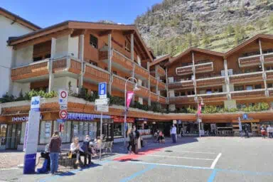
Town walk Zermatt
City trip, HikingMin. time required: 1:00
See the lively town center and the beautiful outskirts of Zermatt with this quick and varied walk. Perfect for a one-day trip to Zermatt as …
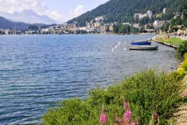
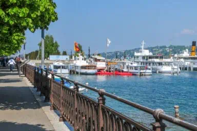
Lake walk St. Moritz
HikingMin. time required: 1:00
Enjoy the beautiful lake of St. Moritz with this easy 1-hour stroll.
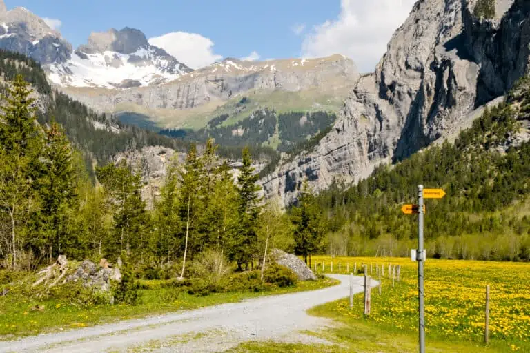
Our favorite trails in Swiss nature described
I’ve collected our favorite Swiss hikes in our blog. Find route descriptions for each of them.
Practical hiking information and tips
Hiking in the Swiss Alps should not be underestimated. Casualties do occur. Learn how to prepare and how to safely enjoy the Swiss trails.
Safety
Hiking in Switzerland is available for all, but it requires caution. Weather and the alpine environment can cause dangers. Learn …
Preparation
Prepare before you start hiking in Switzerland: only pick routes that suit your capabilities and check weather forecasts. I also …
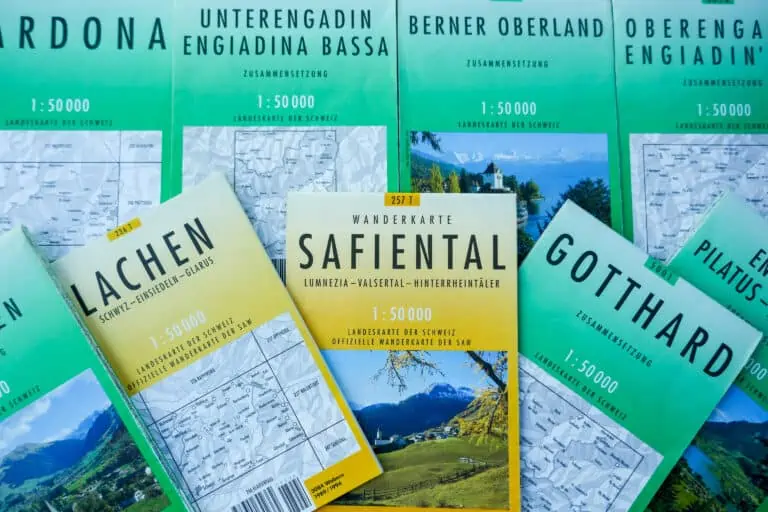
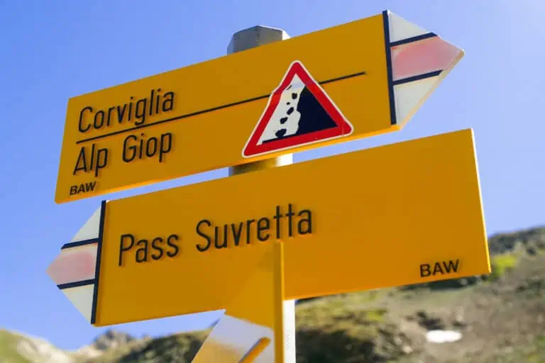
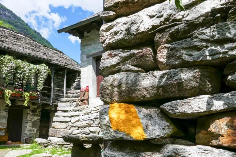
Maps and apps
SwissTopo and Switzerland Mobility are great navigation apps for your hikes in Switzerland. But paper maps are important too: your …
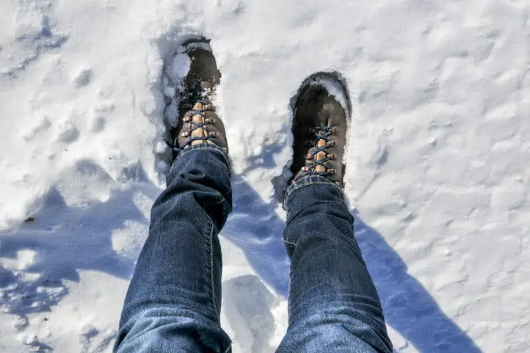
Clothing and gear
How to dress and what to pack for your Swiss holidays, with tips for all sorts of activities: from summer …
Other websites of interest
- www.schweizmobil.ch: find all Swiss hiking routes

