Meggen-Lucerne: the facts
- Hiking time: 1h45
- Difficulty: easy
- Elevation: 434 – 504 m
- Distance: 6.4 km
- Terrain: meadows, towns, along the lake
- Region: Lake Lucerne (Central Switzerland)
About this trail
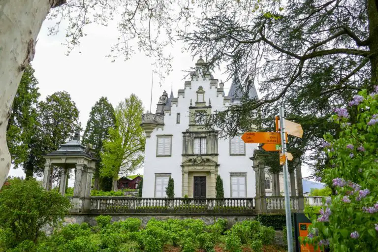
You’ll first pass the St. Charles Hall in Meggen, a pretty villa dating back to the 19th century. Next, you’ll reach the lakefront and boat dock of Meggen. You’ll now walk across Meggen and meadows to reach Meggenhorn Castle with its wonderful garden and lake views. You’ll continue your way to reach the outskirts of Lucerne, the lake, and finally the Swiss Museum of Transport in Lucerne.
You’ll find plenty to do in Lucerne for the rest of the day if you wish.
Directions and map
How to reach Meggen
Meggen can be reached by train. You’ll need to get off the train at the stop ‘Meggen Zentrum’. It can be reached by car as well. Another option is traveling to Meggen by boat. The name of the boat dock is ‘Meggen (See)’, and it is located in front of the St. Charles Hall.
How to get back from Lucerne
There are trains, buses and boats available from the Swiss Museum of Transport at the end of the walk. Alternatively, you can walk (35 minutes) or take public transport to the central station of Lucerne to find even more travel options there. Please find more details here.
The hiking route
You can find the route on the map below. We offer detailed directions as well:
- From train stop Meggen Zentrum, follow the Benzeholzgasse towards the lake. Before you reach the lake, turn left into the park in front of the St. Charles Hall.
- At the end of the path, walk to the lake and follow the road along the lake in the opposite direction.
- Keep following the road, which is no longer directly on the lake now, and follow the signs to Meggenhorn and Luzern (Lucerne).
- About 100 m before you have reached Meggenhorn Castle, turn left towards the boat dock. The path gets you close to the lake, and you can turn left into a path to a statue of Jezus Christ, where you have a view of the lake and Luzern. Walk back and continue on the path back up to the castle with its beautiful garden.
- Then continue following the signs to Luzern. The hike ends at the Swiss Museum of Transport in Lucerne.
Map with the route Meggen-Lucerne

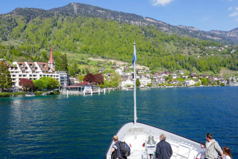
Boat Lake Lucerne
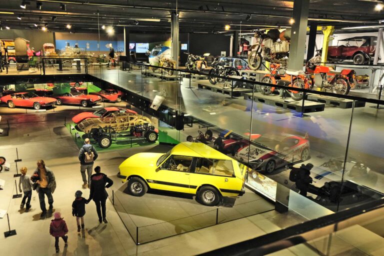
Swiss Museum of Transport

Free with the Swiss Travel Pass in Lucerne

Hike Täsch-Zermatt

Hike First-Grosse Scheidegg
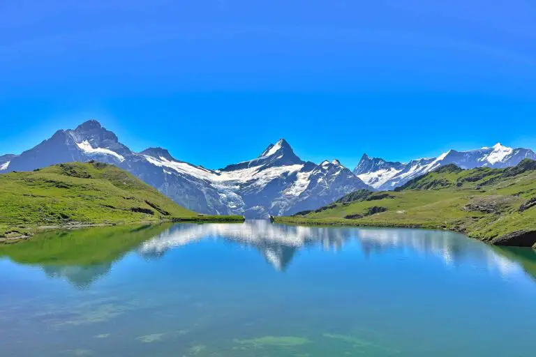
Hike First-Bachsee
Hike Kandersteg-Frutigen

Hike Grosse Scheidegg-Meiringen
Hike Schynige Platte
Hike Bettmerhorn-Märjelensee-Fiescheralp